

68
Chapter 3 Getting Your Data to Match the Map
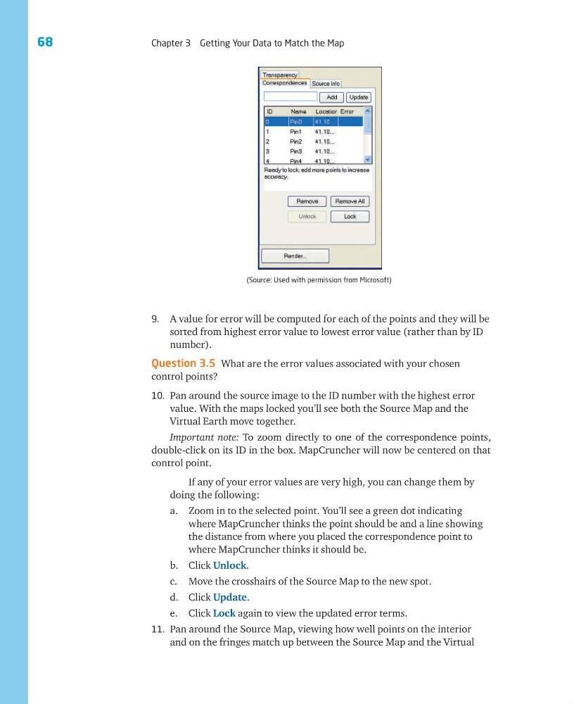
9. A value for error will be computed for each of the points and they will be
sorted from highest error value to lowest error value (rather than by ID
number).
Question 3.5 What are the error values associated with your chosen
control points?
10. Pan around the source image to the ID number with the highest error
value. With the maps locked you’ll see both the Source Map and the
Virtual Earth move together.
Important note: To zoom directly to one of the correspondence points,
double-click on its ID in the box. MapCruncher will now be centered on that
control point.
If any of your error values are very high, you can change them by
doing the following:
a. Zoom in to the selected point. You’ll see a green dot indicating
where MapCruncher thinks the point should be and a line showing
the distance from where you placed the correspondence point to
where MapCruncher thinks it should be.
b. Click Unlock.
c. Move the crosshairs of the Source Map to the new spot.
d. Click Update.
e. Click Lock again to view the updated error terms.
11. Pan around the Source Map, viewing how well points on the interior
and on the fringes match up between the Source Map and the Virtual
(Source: Used with permission from Microsoft)
Chapter 3 Getting Your Data to Match the Map
9. A value for error will be computed for each of the points and they will be
sorted from highest error value to lowest error value (rather than by ID
number).
Question 3.5 What are the error values associated with your chosen
control points?
10. Pan around the source image to the ID number with the highest error
value. With the maps locked you’ll see both the Source Map and the
Virtual Earth move together.
Important note: To zoom directly to one of the correspondence points,
double-click on its ID in the box. MapCruncher will now be centered on that
control point.
If any of your error values are very high, you can change them by
doing the following:
a. Zoom in to the selected point. You’ll see a green dot indicating
where MapCruncher thinks the point should be and a line showing
the distance from where you placed the correspondence point to
where MapCruncher thinks it should be.
b. Click Unlock.
c. Move the crosshairs of the Source Map to the new spot.
d. Click Update.
e. Click Lock again to view the updated error terms.
11. Pan around the Source Map, viewing how well points on the interior
and on the fringes match up between the Source Map and the Virtual
(Source: Used with permission from Microsoft)