

463
Exploring ArcGIS Explorer
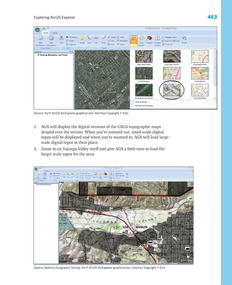
2. AGX will display the digital versions of the USGS topographic maps
draped over the terrain. When you’re zoomed out, small-scale digital
topos will be displayed and when you’re zoomed in, AGX will load largescale digital topos in their place.
3. Zoom in on Tujunga Valley itself and give AGX a little time to load the
larger scale topos for the area.
(Source: National Geographic Society. Esri® ArcGIS ArcExplorer graphical user interface Copyright © Esri)
(Source: Esri® ArcGIS ArcExplorer graphical user interface Copyright © Esri)
Exploring ArcGIS Explorer
2. AGX will display the digital versions of the USGS topographic maps
draped over the terrain. When you’re zoomed out, small-scale digital
topos will be displayed and when you’re zoomed in, AGX will load largescale digital topos in their place.
3. Zoom in on Tujunga Valley itself and give AGX a little time to load the
larger scale topos for the area.
(Source: National Geographic Society. Esri® ArcGIS ArcExplorer graphical user interface Copyright © Esri)
(Source: Esri® ArcGIS ArcExplorer graphical user interface Copyright © Esri)