

413
How Can 3D Modeling and Visualization Be Used with Geospatial Technology?
and then easily re-use the same model of a window multiple times around the
school.
Geospatial Lab Application 14.1 will introduce you to several aspects of using GSU for 3D design, where you’ll begin with a building’s footprint, use tools
to create a shape, design elements of the building (such as the entranceway),
as well as design components to use. A file created with GSU (like the one
you’ll make in the lab) uses the “*.skp” file extension. The SKP file consists of
information about the polygons that make up the structure, the textures applied, and the geometry of how these objects fit together. However, the SKP
format is native to GSU. You (or whoever you share your data with) has to
be running GSU to open and examine an SKP file. In addition, you can open
only one SKP file at a time, which causes some difficulties if you’ve designed
multiple buildings of a city block (each in its own SKP file) and want to see
how they look next to one another.
One way around these issues is to convert the SKP files into another format called a KMZ, which can be used in Google Earth. Each building becomes
its own KMZ file, and many KMZ files can be opened at once in Google Earth.
KMZ is a compressed version of another file format called KML, short for Keyhole Markup Language. KML and KMZ are file formats that can be interpreted
using Google Earth. By converting an SKP file into a KMZ file, that GSU model
can be viewed interactively in Google Earth. Figure 14.9 on page 414 shows an
example of this—Youngstown State University’s stadium complex (containing
both sides of the stadium, stadium lights, the scoreboard, and the goal posts)
was converted from an SKP file into a KMZ file. The KMZ file can be opened
in Google Earth, which overlays the 3D model of the stadium over the Google
Earth imagery, allowing the user to rotate around the stadium, fly across the
field, zoom into a bleacher seat, or any of the other usual uses of Google Earth.
KMZ has become a standard for creating objects to view in Google Earth—other
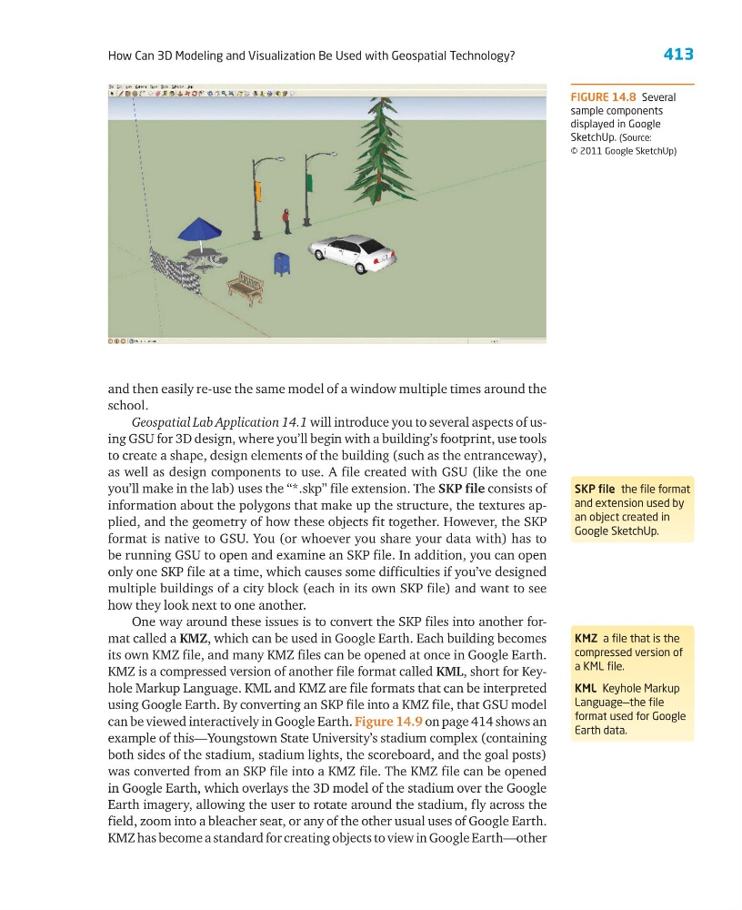
FIGURE 14.8 Several
sample components
displayed in Google
SketchUp. (Source:
© 2011 Google SketchUp)
SKP file the file format
and extension used by
an object created in
Google SketchUp.
KMZ a file that is the
compressed version of
a KML file.
KML Keyhole Markup
Language—the file
format used for Google
Earth data.
How Can 3D Modeling and Visualization Be Used with Geospatial Technology?
and then easily re-use the same model of a window multiple times around the
school.
Geospatial Lab Application 14.1 will introduce you to several aspects of using GSU for 3D design, where you’ll begin with a building’s footprint, use tools
to create a shape, design elements of the building (such as the entranceway),
as well as design components to use. A file created with GSU (like the one
you’ll make in the lab) uses the “*.skp” file extension. The SKP file consists of
information about the polygons that make up the structure, the textures applied, and the geometry of how these objects fit together. However, the SKP
format is native to GSU. You (or whoever you share your data with) has to
be running GSU to open and examine an SKP file. In addition, you can open
only one SKP file at a time, which causes some difficulties if you’ve designed
multiple buildings of a city block (each in its own SKP file) and want to see
how they look next to one another.
One way around these issues is to convert the SKP files into another format called a KMZ, which can be used in Google Earth. Each building becomes
its own KMZ file, and many KMZ files can be opened at once in Google Earth.
KMZ is a compressed version of another file format called KML, short for Keyhole Markup Language. KML and KMZ are file formats that can be interpreted
using Google Earth. By converting an SKP file into a KMZ file, that GSU model
can be viewed interactively in Google Earth. Figure 14.9 on page 414 shows an
example of this—Youngstown State University’s stadium complex (containing
both sides of the stadium, stadium lights, the scoreboard, and the goal posts)
was converted from an SKP file into a KMZ file. The KMZ file can be opened
in Google Earth, which overlays the 3D model of the stadium over the Google
Earth imagery, allowing the user to rotate around the stadium, fly across the
field, zoom into a bleacher seat, or any of the other usual uses of Google Earth.
KMZ has become a standard for creating objects to view in Google Earth—other
FIGURE 14.8 Several
sample components
displayed in Google
SketchUp. (Source:
© 2011 Google SketchUp)
SKP file the file format
and extension used by
an object created in
Google SketchUp.
KMZ a file that is the
compressed version of
a KML file.
KML Keyhole Markup
Language—the file
format used for Google
Earth data.