

400
Chapter 13 Digital Landscaping
13.7 Slope and a DEM
1. Because a DEM is showing elevations, factors such as the slope (for
each location) can be derived. Right-click on the DEM, select Display
parameter, and choose Slope.
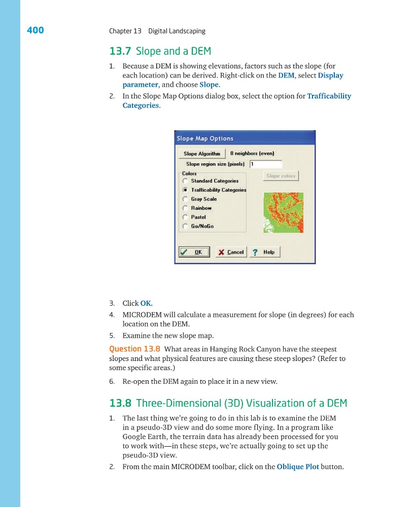
2. In the Slope Map Options dialog box, select the option for Trafficability
Categories.
3. Click OK.
4. MICRODEM will calculate a measurement for slope (in degrees) for each
location on the DEM.
5. Examine the new slope map.
Question 13.8 What areas in Hanging Rock Canyon have the steepest
slopes and what physical features are causing these steep slopes? (Refer to
some specific areas.)
6. Re-open the DEM again to place it in a new view.
13.8 Three-Dimensional (3D) Visualization of a DEM
1. The last thing we’re going to do in this lab is to examine the DEM
in a pseudo-3D view and do some more flying. In a program like
Google Earth, the terrain data has already been processed for you
to work with—in these steps, we’re actually going to set up the
pseudo-3D view.
2. From the main MICRODEM toolbar, click on the Oblique Plot button.
Chapter 13 Digital Landscaping
13.7 Slope and a DEM
1. Because a DEM is showing elevations, factors such as the slope (for
each location) can be derived. Right-click on the DEM, select Display
parameter, and choose Slope.
2. In the Slope Map Options dialog box, select the option for Trafficability
Categories.
3. Click OK.
4. MICRODEM will calculate a measurement for slope (in degrees) for each
location on the DEM.
5. Examine the new slope map.
Question 13.8 What areas in Hanging Rock Canyon have the steepest
slopes and what physical features are causing these steep slopes? (Refer to
some specific areas.)
6. Re-open the DEM again to place it in a new view.
13.8 Three-Dimensional (3D) Visualization of a DEM
1. The last thing we’re going to do in this lab is to examine the DEM
in a pseudo-3D view and do some more flying. In a program like
Google Earth, the terrain data has already been processed for you
to work with—in these steps, we’re actually going to set up the
pseudo-3D view.
2. From the main MICRODEM toolbar, click on the Oblique Plot button.