

20
Chapter 1 It’s a Geospatial World Out There
6. Click the Begin Search button. GE will zoom out to show you the path
(in purple) it has calculated for driving distance between the Corn
Palace and Wall Drug, while the Search Box will fill with directions
featuring stops and turns along the way. At the bottom of the Search Box
will be a checkbox marked “Route.” By turning this on and off, you can
view the route and the roads underneath it.
Question 1.2 By viewing the expanse of South Dakota between Mitchell
and Wall, there are many possible roads between the two. Why do you
suppose GE chose this particular path to go from the Corn Palace to Wall
Drug?
Question 1.3 Based on the route that GE calculated, what is the driving
distance (and approximate time equivalent) to get from the Corn Palace to
Wall Drug?
7. This capability to take a bunch of letters and numbers and turn them
into a mapped location, as well as being able to calculate the shortest
driving distance between points is further developed in Chapter 8.
Matching addresses and calculating shortest paths are key usages of
geospatial technologies, and the Chapter 8 lab will go into more depth
on how these types of operations are performed.
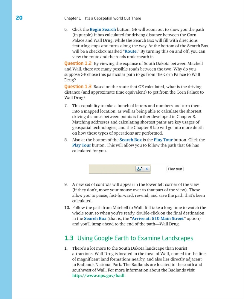
8. Also at the bottom of the Search Box is the Play Tour button. Click the
Play Tour button. This will allow you to follow the path that GE has
calculated for you.
9. A new set of controls will appear in the lower left corner of the view
(if they don’t, move your mouse over to that part of the view). These
allow you to pause, fast-forward, rewind, and save the path that’s been
calculated.
10. Follow the path from Mitchell to Wall. It’ll take a long time to watch the
whole tour, so when you’re ready, double-click on the final destination
in the Search Box (that is, the “Arrive at: 510 Main Street” option)
and you’ll jump ahead to the end of the path—Wall Drug.
1.3 Using Google Earth to Examine Landscapes
1. There’s a lot more to the South Dakota landscape than tourist
attractions. Wall Drug is located in the town of Wall, named for the line
of magnificent land formations nearby, and also lies directly adjacent
to Badlands National Park. The Badlands are located to the south and
southwest of Wall. For more information about the Badlands visit
http://www.nps.gov/badl.
Play tour
Chapter 1 It’s a Geospatial World Out There
6. Click the Begin Search button. GE will zoom out to show you the path
(in purple) it has calculated for driving distance between the Corn
Palace and Wall Drug, while the Search Box will fill with directions
featuring stops and turns along the way. At the bottom of the Search Box
will be a checkbox marked “Route.” By turning this on and off, you can
view the route and the roads underneath it.
Question 1.2 By viewing the expanse of South Dakota between Mitchell
and Wall, there are many possible roads between the two. Why do you
suppose GE chose this particular path to go from the Corn Palace to Wall
Drug?
Question 1.3 Based on the route that GE calculated, what is the driving
distance (and approximate time equivalent) to get from the Corn Palace to
Wall Drug?
7. This capability to take a bunch of letters and numbers and turn them
into a mapped location, as well as being able to calculate the shortest
driving distance between points is further developed in Chapter 8.
Matching addresses and calculating shortest paths are key usages of
geospatial technologies, and the Chapter 8 lab will go into more depth
on how these types of operations are performed.
8. Also at the bottom of the Search Box is the Play Tour button. Click the
Play Tour button. This will allow you to follow the path that GE has
calculated for you.
9. A new set of controls will appear in the lower left corner of the view
(if they don’t, move your mouse over to that part of the view). These
allow you to pause, fast-forward, rewind, and save the path that’s been
calculated.
10. Follow the path from Mitchell to Wall. It’ll take a long time to watch the
whole tour, so when you’re ready, double-click on the final destination
in the Search Box (that is, the “Arrive at: 510 Main Street” option)
and you’ll jump ahead to the end of the path—Wall Drug.
1.3 Using Google Earth to Examine Landscapes
1. There’s a lot more to the South Dakota landscape than tourist
attractions. Wall Drug is located in the town of Wall, named for the line
of magnificent land formations nearby, and also lies directly adjacent
to Badlands National Park. The Badlands are located to the south and
southwest of Wall. For more information about the Badlands visit
http://www.nps.gov/badl.
Play tour