

345
Landsat Imagery
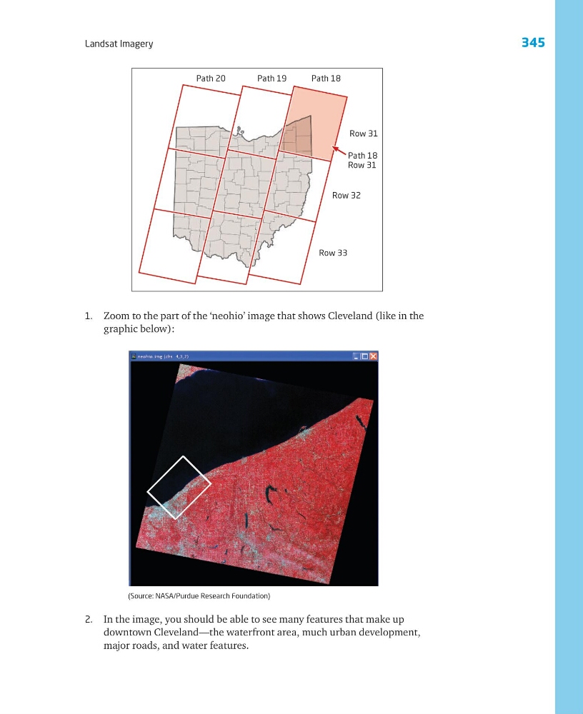
1. Zoom to the part of the ‘neohio’ image that shows Cleveland (like in the
graphic below):
2. In the image, you should be able to see many features that make up
downtown Cleveland—the waterfront area, much urban development,
major roads, and water features.
Path 20
Path 19
Path 18
Row 31
Path 18
Row 31
Row 32
Row 33
(Source: NASA/Purdue Research Foundation)
Landsat Imagery
1. Zoom to the part of the ‘neohio’ image that shows Cleveland (like in the
graphic below):
2. In the image, you should be able to see many features that make up
downtown Cleveland—the waterfront area, much urban development,
major roads, and water features.
Path 20
Path 19
Path 18
Row 31
Path 18
Row 31
Row 32
Row 33
(Source: NASA/Purdue Research Foundation)