

204
Chapter 7 Using GIS to Make a Map
2. The default element that appears on the layout is the Data Frame that
contains all of the GIS data. All of the visible layers in the TOC under
the word “Layers” will appear in this frame. You can’t manipulate
individual layers (for instance, you can’t click and drag a state
somewhere else), but you can treat the entire Frame as if it’s a map
element. Click and drag the Frame around the map or resize it as you
see fit (using the eight blue tabs at its corners and midpoints), or access
its properties (like any regular element) to create borders around the
map or fix it in a particular position.
3. Map elements can be resized and moved by selecting them with the
mouse and resizing like you would the data frame.
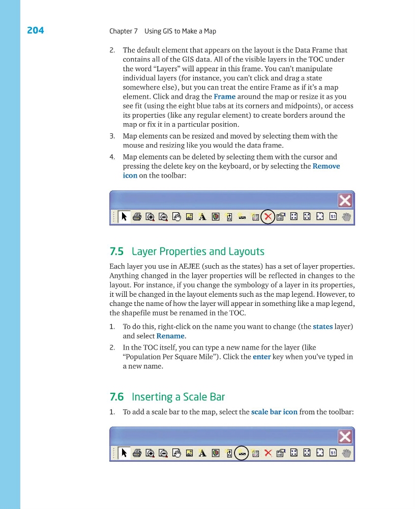
4. Map elements can be deleted by selecting them with the cursor and
pressing the delete key on the keyboard, or by selecting the Remove
icon on the toolbar:
7.5 Layer Properties and Layouts
Each layer you use in AEJEE (such as the states) has a set of layer properties.
Anything changed in the layer properties will be reflected in changes to the
layout. For instance, if you change the symbology of a layer in its properties,
it will be changed in the layout elements such as the map legend. However, to
change the name of how the layer will appear in something like a map legend,
the shapefile must be renamed in the TOC.
1. To do this, right-click on the name you want to change (the states layer)
and select Rename.
2. In the TOC itself, you can type a new name for the layer (like
“Population Per Square Mile”). Click the enter key when you’ve typed in
a new name.
7.6 Inserting a Scale Bar
1. To add a scale bar to the map, select the scale bar icon from the toolbar:
Chapter 7 Using GIS to Make a Map
2. The default element that appears on the layout is the Data Frame that
contains all of the GIS data. All of the visible layers in the TOC under
the word “Layers” will appear in this frame. You can’t manipulate
individual layers (for instance, you can’t click and drag a state
somewhere else), but you can treat the entire Frame as if it’s a map
element. Click and drag the Frame around the map or resize it as you
see fit (using the eight blue tabs at its corners and midpoints), or access
its properties (like any regular element) to create borders around the
map or fix it in a particular position.
3. Map elements can be resized and moved by selecting them with the
mouse and resizing like you would the data frame.
4. Map elements can be deleted by selecting them with the cursor and
pressing the delete key on the keyboard, or by selecting the Remove
icon on the toolbar:
7.5 Layer Properties and Layouts
Each layer you use in AEJEE (such as the states) has a set of layer properties.
Anything changed in the layer properties will be reflected in changes to the
layout. For instance, if you change the symbology of a layer in its properties,
it will be changed in the layout elements such as the map legend. However, to
change the name of how the layer will appear in something like a map legend,
the shapefile must be renamed in the TOC.
1. To do this, right-click on the name you want to change (the states layer)
and select Rename.
2. In the TOC itself, you can type a new name for the layer (like
“Population Per Square Mile”). Click the enter key when you’ve typed in
a new name.
7.6 Inserting a Scale Bar
1. To add a scale bar to the map, select the scale bar icon from the toolbar: