

153
How Can You Perform Basic Spatial Analysis in GIS?
of several characteristics at once. In GIS, when one layer has some sort of
action performed to it and the result is a new layer, this process is referred to
as geoprocessing. There are numerous types of geoprocessing methods and
they are frequently performed in a series to solve a spatial analysis question.
GIS gives you the ability to not just perform a regular SQL-style query, but
to also perform a spatial query—to select records or objects from one layer
based upon their spatial relationships with other layers (rather than using attributes). With GIS, queries can be based on spatial concepts—to determine
geoprocessing the
term that describes
when an action is
taken to a dataset that
results in a new dataset
being created.
spatial query
selecting records or
objects from one layer
based upon their
spatial relationships
with other layers
(rather than using
attributes).
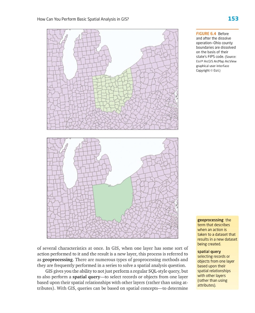
FIGURE 6.4 Before
and after the dissolve
operation—Ohio county
boundaries are dissolved
on the basis of their
state’s FIPS code. (Source:
Esri® ArcGIS ArcMap ArcView
graphical user interface
Copyright © Esri.)
How Can You Perform Basic Spatial Analysis in GIS?
of several characteristics at once. In GIS, when one layer has some sort of
action performed to it and the result is a new layer, this process is referred to
as geoprocessing. There are numerous types of geoprocessing methods and
they are frequently performed in a series to solve a spatial analysis question.
GIS gives you the ability to not just perform a regular SQL-style query, but
to also perform a spatial query—to select records or objects from one layer
based upon their spatial relationships with other layers (rather than using attributes). With GIS, queries can be based on spatial concepts—to determine
geoprocessing the
term that describes
when an action is
taken to a dataset that
results in a new dataset
being created.
spatial query
selecting records or
objects from one layer
based upon their
spatial relationships
with other layers
(rather than using
attributes).
FIGURE 6.4 Before
and after the dissolve
operation—Ohio county
boundaries are dissolved
on the basis of their
state’s FIPS code. (Source:
Esri® ArcGIS ArcMap ArcView
graphical user interface
Copyright © Esri.)