

141
GIS Introduction: ArcGIS Version
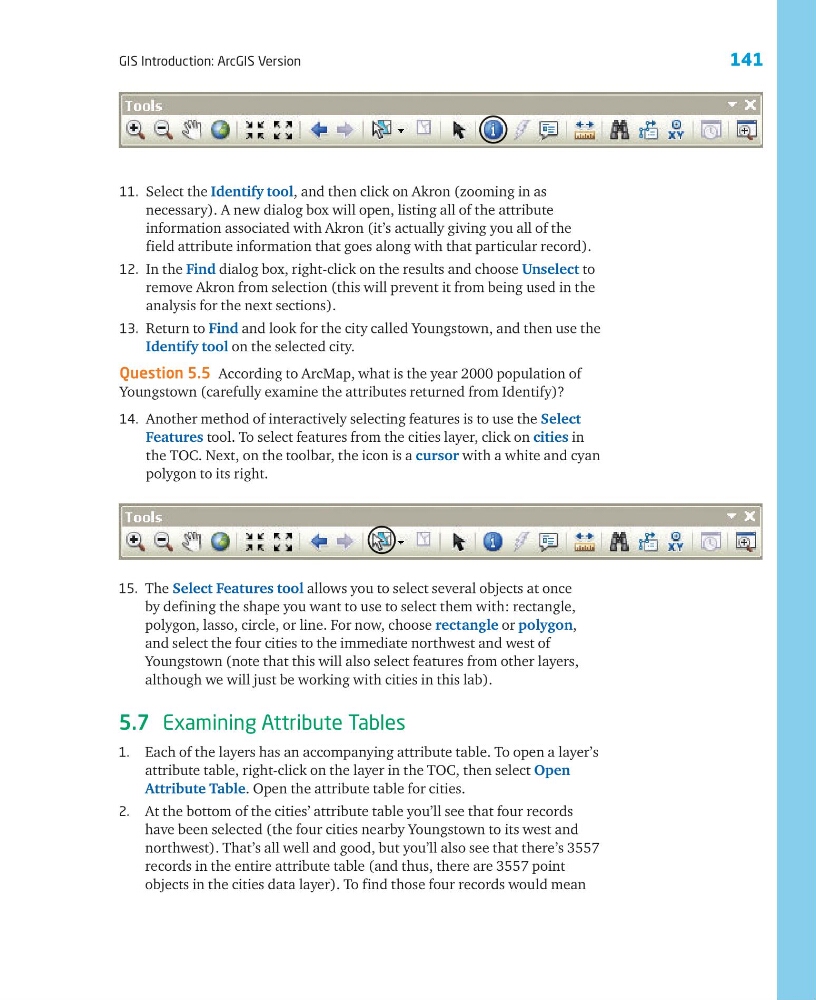
11. Select the Identify tool, and then click on Akron (zooming in as
necessary). A new dialog box will open, listing all of the attribute
information associated with Akron (it’s actually giving you all of the
field attribute information that goes along with that particular record).
12. In the Find dialog box, right-click on the results and choose Unselect to
remove Akron from selection (this will prevent it from being used in the
analysis for the next sections).
13. Return to Find and look for the city called Youngstown, and then use the
Identify tool on the selected city.
Question 5.5 According to ArcMap, what is the year 2000 population of
Youngstown (carefully examine the attributes returned from Identify)?
14. Another method of interactively selecting features is to use the Select
Features tool. To select features from the cities layer, click on cities in
the TOC. Next, on the toolbar, the icon is a cursor with a white and cyan
polygon to its right.
15. The Select Features tool allows you to select several objects at once
by defining the shape you want to use to select them with: rectangle,
polygon, lasso, circle, or line. For now, choose rectangle or polygon,
and select the four cities to the immediate northwest and west of
Youngstown (note that this will also select features from other layers,
although we will just be working with cities in this lab).
5.7 Examining Attribute Tables
1. Each of the layers has an accompanying attribute table. To open a layer’s
attribute table, right-click on the layer in the TOC, then select Open
Attribute Table. Open the attribute table for cities.
2. At the bottom of the cities’ attribute table you’ll see that four records
have been selected (the four cities nearby Youngstown to its west and
northwest). That’s all well and good, but you’ll also see that there’s 3557
records in the entire attribute table (and thus, there are 3557 point
objects in the cities data layer). To find those four records would mean
GIS Introduction: ArcGIS Version
11. Select the Identify tool, and then click on Akron (zooming in as
necessary). A new dialog box will open, listing all of the attribute
information associated with Akron (it’s actually giving you all of the
field attribute information that goes along with that particular record).
12. In the Find dialog box, right-click on the results and choose Unselect to
remove Akron from selection (this will prevent it from being used in the
analysis for the next sections).
13. Return to Find and look for the city called Youngstown, and then use the
Identify tool on the selected city.
Question 5.5 According to ArcMap, what is the year 2000 population of
Youngstown (carefully examine the attributes returned from Identify)?
14. Another method of interactively selecting features is to use the Select
Features tool. To select features from the cities layer, click on cities in
the TOC. Next, on the toolbar, the icon is a cursor with a white and cyan
polygon to its right.
15. The Select Features tool allows you to select several objects at once
by defining the shape you want to use to select them with: rectangle,
polygon, lasso, circle, or line. For now, choose rectangle or polygon,
and select the four cities to the immediate northwest and west of
Youngstown (note that this will also select features from other layers,
although we will just be working with cities in this lab).
5.7 Examining Attribute Tables
1. Each of the layers has an accompanying attribute table. To open a layer’s
attribute table, right-click on the layer in the TOC, then select Open
Attribute Table. Open the attribute table for cities.
2. At the bottom of the cities’ attribute table you’ll see that four records
have been selected (the four cities nearby Youngstown to its west and
northwest). That’s all well and good, but you’ll also see that there’s 3557
records in the entire attribute table (and thus, there are 3557 point
objects in the cities data layer). To find those four records would mean