

121
GIS Introduction: AEJEE Version
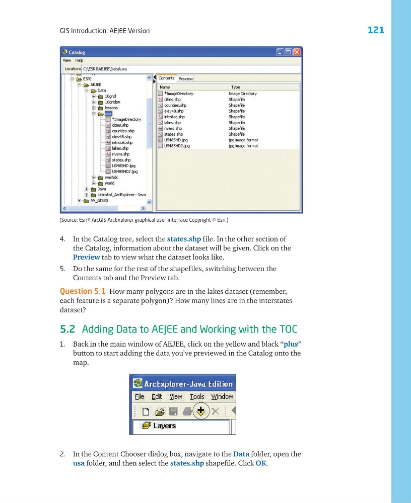
4. In the Catalog tree, select the states.shp file. In the other section of
the Catalog, information about the dataset will be given. Click on the
Preview tab to view what the dataset looks like.
5. Do the same for the rest of the shapefiles, switching between the
Contents tab and the Preview tab.
Question 5.1 How many polygons are in the lakes dataset (remember,
each feature is a separate polygon)? How many lines are in the interstates
dataset?
5.2 Adding Data to AEJEE and Working with the TOC
1. Back in the main window of AEJEE, click on the yellow and black “plus”
button to start adding the data you’ve previewed in the Catalog onto the
map.
(Source: Esri® ArcGIS ArcExplorer graphical user interface Copyright © Esri.)
2. In the Content Chooser dialog box, navigate to the Data folder, open the
usa folder, and then select the states.shp shapefile. Click OK.
GIS Introduction: AEJEE Version
4. In the Catalog tree, select the states.shp file. In the other section of
the Catalog, information about the dataset will be given. Click on the
Preview tab to view what the dataset looks like.
5. Do the same for the rest of the shapefiles, switching between the
Contents tab and the Preview tab.
Question 5.1 How many polygons are in the lakes dataset (remember,
each feature is a separate polygon)? How many lines are in the interstates
dataset?
5.2 Adding Data to AEJEE and Working with the TOC
1. Back in the main window of AEJEE, click on the yellow and black “plus”
button to start adding the data you’ve previewed in the Catalog onto the
map.
(Source: Esri® ArcGIS ArcExplorer graphical user interface Copyright © Esri.)
2. In the Content Chooser dialog box, navigate to the Data folder, open the
usa folder, and then select the states.shp shapefile. Click OK.