

Climate change in arid and tropical humid regions
667
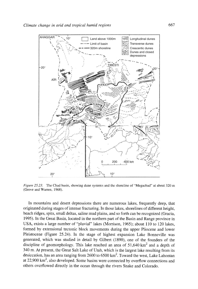
Figure 25.23. The Chad basin, showing dune systems and the shoreline of "Megachad" at about 320 m
(Grove and Warren, 1968).
In mountains and desert depressions there are numerous lakes, frequently deep, that
originated during stages of intense fracturing. In those lakes, shorelines of different height,
beach ridges, spits, small deltas, saline mud plains, and so forth can be recognized (Gracia,
1995). In the Great Basin, located in the northern part of the Basin and Range province in
USA, exists a large number of "pluvial" lakes (Morrison, 1965); about 110 to 120 lakes,
formed by extensional tectonic block movements during the upper Pliocene and lower
Pleistocene (Figure 25.24). In the stage of highest expansion Lake Bonneville was
generated, which was studied in detail by Gilbert (1890), one of the founders of the
discipline of geomorphology. This lake reached an area of 51,640 km 2 and a depth of
340 m. At present, the Great Salt Lake of Utah, which is the largest lake resulting from its
desiccation, has an area ranging from 2600 to 6500 km 2. Toward the west, Lake Lahontan
at 22,900 km 2, also developed. Some basins were connected by overflow connections and
others overflowed directly in the ocean through the rivers Snake and Colorado.