

An MRF Model Based Approachfor Sub-pixel Mapping from Hyperspectral Data
273
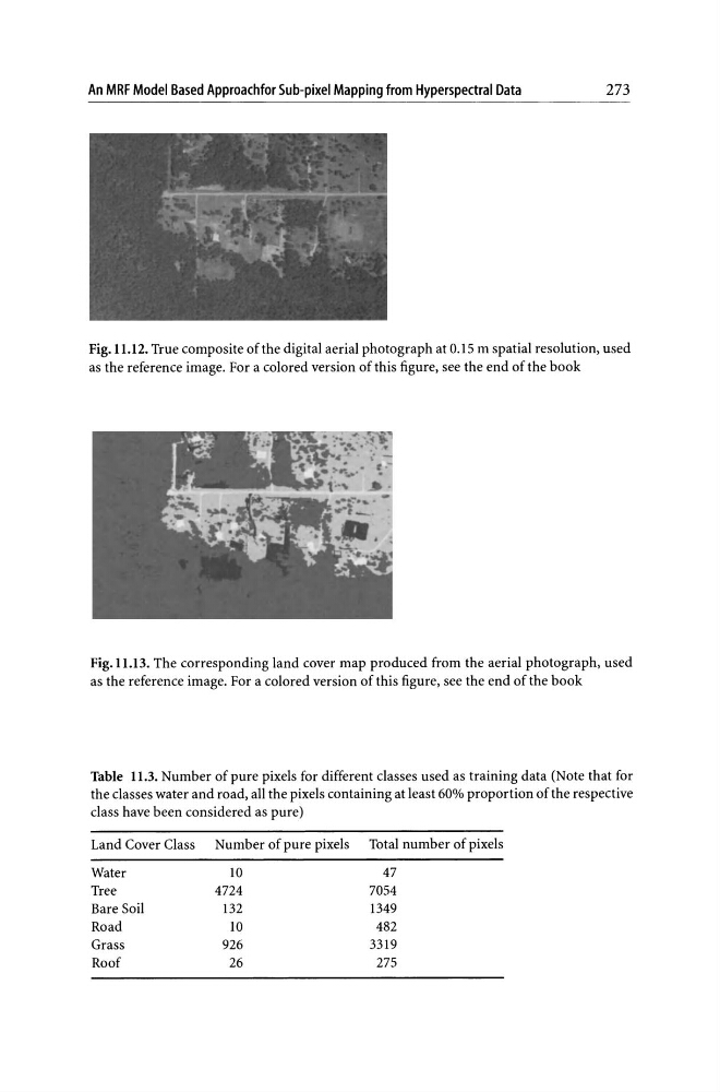
Fig. 11.12. True composite of the digital aerial photograph at 0.15 m spatial resolution, used
as the reference image. For a colored version of this figure, see the end of the book
Fig.lI.l3. The corresponding land cover map produced from the aerial photograph, used
as the reference image. For a colored version of this figure, see the end of the book
Table 11.3. Number of pure pixels for different classes used as training data (Note that for
the classes water and road, all the pixels containing at least 60% proportion of the respective
class have been considered as pure)
Land Cover Class Number of pure pixels Total number of pixels
Water
lO
47
Tree
4724
7054
Bare Soil
132
1349
Road
lO
482
Grass
926
3319
Roof
26
275
273
Fig. 11.12. True composite of the digital aerial photograph at 0.15 m spatial resolution, used
as the reference image. For a colored version of this figure, see the end of the book
Fig.lI.l3. The corresponding land cover map produced from the aerial photograph, used
as the reference image. For a colored version of this figure, see the end of the book
Table 11.3. Number of pure pixels for different classes used as training data (Note that for
the classes water and road, all the pixels containing at least 60% proportion of the respective
class have been considered as pure)
Land Cover Class Number of pure pixels Total number of pixels
Water
lO
47
Tree
4724
7054
Bare Soil
132
1349
Road
lO
482
Grass
926
3319
Roof
26
275