

242
10: Pakorn Watanachaturaporn, Manoj K. Arora
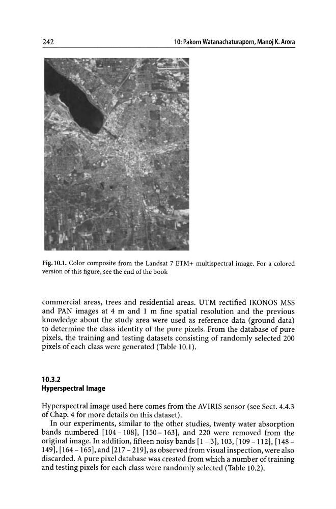
Fig. 10.1. Color composite from the Landsat 7 ETM+ multispectral image. For a colored
version of this figure, see the end of the book
commercial areas, trees and residential areas. UTM rectified IKONOS MSS
and PAN images at 4 m and 1 m fine spatial resolution and the previous
knowledge about the study area were used as reference data (ground data)
to determine the class identity of the pure pixels. From the database of pure
pixels, the training and testing datasets consisting of randomly selected 200
pixels of each class were generated (Table 10.1).
10.3.2
Hyperspectral Image
Hyperspectral image used here comes from the AVIRIS sensor (see Sect. 4.4.3
of Chap. 4 for more details on this dataset).
In our experiments, similar to the other studies, twenty water absorption
bands numbered [104-108], [150-163], and 220 were removed from the
original image. In addition, fifteen noisy bands [1 - 3], 103, [109 - 112], [148 -
149], [164 - 165], and [217 - 219], as observed from visual inspection, were also
discarded. A pure pixel database was created from which a number of training
and testing pixels for each class were randomly selected (Table 1O.2).
10: Pakorn Watanachaturaporn, Manoj K. Arora
Fig. 10.1. Color composite from the Landsat 7 ETM+ multispectral image. For a colored
version of this figure, see the end of the book
commercial areas, trees and residential areas. UTM rectified IKONOS MSS
and PAN images at 4 m and 1 m fine spatial resolution and the previous
knowledge about the study area were used as reference data (ground data)
to determine the class identity of the pure pixels. From the database of pure
pixels, the training and testing datasets consisting of randomly selected 200
pixels of each class were generated (Table 10.1).
10.3.2
Hyperspectral Image
Hyperspectral image used here comes from the AVIRIS sensor (see Sect. 4.4.3
of Chap. 4 for more details on this dataset).
In our experiments, similar to the other studies, twenty water absorption
bands numbered [104-108], [150-163], and 220 were removed from the
original image. In addition, fifteen noisy bands [1 - 3], 103, [109 - 112], [148 -
149], [164 - 165], and [217 - 219], as observed from visual inspection, were also
discarded. A pure pixel database was created from which a number of training
and testing pixels for each class were randomly selected (Table 1O.2).