

orbit is inclined such that the latitude range is 51.6°S–51.6°N; and the Tropical
Rainfall Measuring Mission satellite orbits with inclination 35°, with coverage
38°S–38°N).
The geometry of satellite orbits is an important consideration for properly
understanding the resolution of satellite observations and thereby effectively
interpreting and applying the information. Key to this understanding is the difference between the Earth frame-of-reference, where measurements are actually
interpreted and used, and the orbital (satellite) frame-of-reference, in which
measurements are acquired. The first such consideration arises with the field-ofview and look-angle of the satellite scan. Though often described by a distance or
area on the ground, the resolution of a satellite pixel is better described by the
angle of the satellite instrument field-of-view, since actual ground-distance
changes depending upon the look-angle (Fig. 11.3a). For example, the location
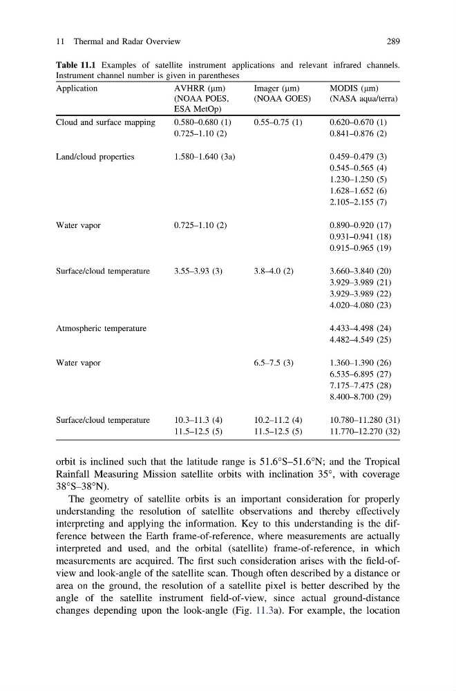
Table 11.1 Examples of satellite instrument applications and relevant infrared channels.
Instrument channel number is given in parentheses
Application
AVHRR (lm)
Imager (lm)
MODIS (lm)
(NOAA POES,
ESA MetOp)
(NOAA GOES)
(NASA aqua/terra)
Cloud and surface mapping
0.580–0.680 (1)
0.55–0.75 (1)
0.620–0.670 (1)
0.725–1.10 (2)
0.841–0.876 (2)
Land/cloud properties
1.580–1.640 (3a)
0.459–0.479 (3)
0.545–0.565 (4)
1.230–1.250 (5)
1.628–1.652 (6)
2.105–2.155 (7)
Water vapor
0.725–1.10 (2)
0.890–0.920 (17)
0.931–0.941 (18)
0.915–0.965 (19)
Surface/cloud temperature
3.55–3.93 (3)
3.8–4.0 (2)
3.660–3.840 (20)
3.929–3.989 (21)
3.929–3.989 (22)
4.020–4.080 (23)
Atmospheric temperature
4.433–4.498 (24)
4.482–4.549 (25)
Water vapor
6.5–7.5 (3)
1.360–1.390 (26)
6.535–6.895 (27)
7.175–7.475 (28)
8.400–8.700 (29)
Surface/cloud temperature
10.3–11.3 (4)
10.2–11.2 (4)
10.780–11.280 (31)
11.5–12.5 (5)
11.5–12.5 (5)
11.770–12.270 (32)
11 Thermal and Radar Overview
289
Rainfall Measuring Mission satellite orbits with inclination 35°, with coverage
38°S–38°N).
The geometry of satellite orbits is an important consideration for properly
understanding the resolution of satellite observations and thereby effectively
interpreting and applying the information. Key to this understanding is the difference between the Earth frame-of-reference, where measurements are actually
interpreted and used, and the orbital (satellite) frame-of-reference, in which
measurements are acquired. The first such consideration arises with the field-ofview and look-angle of the satellite scan. Though often described by a distance or
area on the ground, the resolution of a satellite pixel is better described by the
angle of the satellite instrument field-of-view, since actual ground-distance
changes depending upon the look-angle (Fig. 11.3a). For example, the location
Table 11.1 Examples of satellite instrument applications and relevant infrared channels.
Instrument channel number is given in parentheses
Application
AVHRR (lm)
Imager (lm)
MODIS (lm)
(NOAA POES,
ESA MetOp)
(NOAA GOES)
(NASA aqua/terra)
Cloud and surface mapping
0.580–0.680 (1)
0.55–0.75 (1)
0.620–0.670 (1)
0.725–1.10 (2)
0.841–0.876 (2)
Land/cloud properties
1.580–1.640 (3a)
0.459–0.479 (3)
0.545–0.565 (4)
1.230–1.250 (5)
1.628–1.652 (6)
2.105–2.155 (7)
Water vapor
0.725–1.10 (2)
0.890–0.920 (17)
0.931–0.941 (18)
0.915–0.965 (19)
Surface/cloud temperature
3.55–3.93 (3)
3.8–4.0 (2)
3.660–3.840 (20)
3.929–3.989 (21)
3.929–3.989 (22)
4.020–4.080 (23)
Atmospheric temperature
4.433–4.498 (24)
4.482–4.549 (25)
Water vapor
6.5–7.5 (3)
1.360–1.390 (26)
6.535–6.895 (27)
7.175–7.475 (28)
8.400–8.700 (29)
Surface/cloud temperature
10.3–11.3 (4)
10.2–11.2 (4)
10.780–11.280 (31)
11.5–12.5 (5)
11.5–12.5 (5)
11.770–12.270 (32)
11 Thermal and Radar Overview
289