

The dimensionless form of Eq. (11.6) has been widely used to analyze the
stability of shallow soil using digital terrain models (Borga et al. 2002; D’Odorico
and Fagherazzi 2003).
In Eq. (11.6) most of the variables could be set up as spatially distributed, but it is
assumed that only h w is time-varying. Water depth, h w , is determined by the flux of
subsurface water flow computed by the hydrological model (see Eq. 11.1). Here the
ratio (ψ ¼ h w /h) shows that the relative saturated depth is time-dependent (range
numerically between 0.0 and 1.0). Through an inversion of the standard factor of
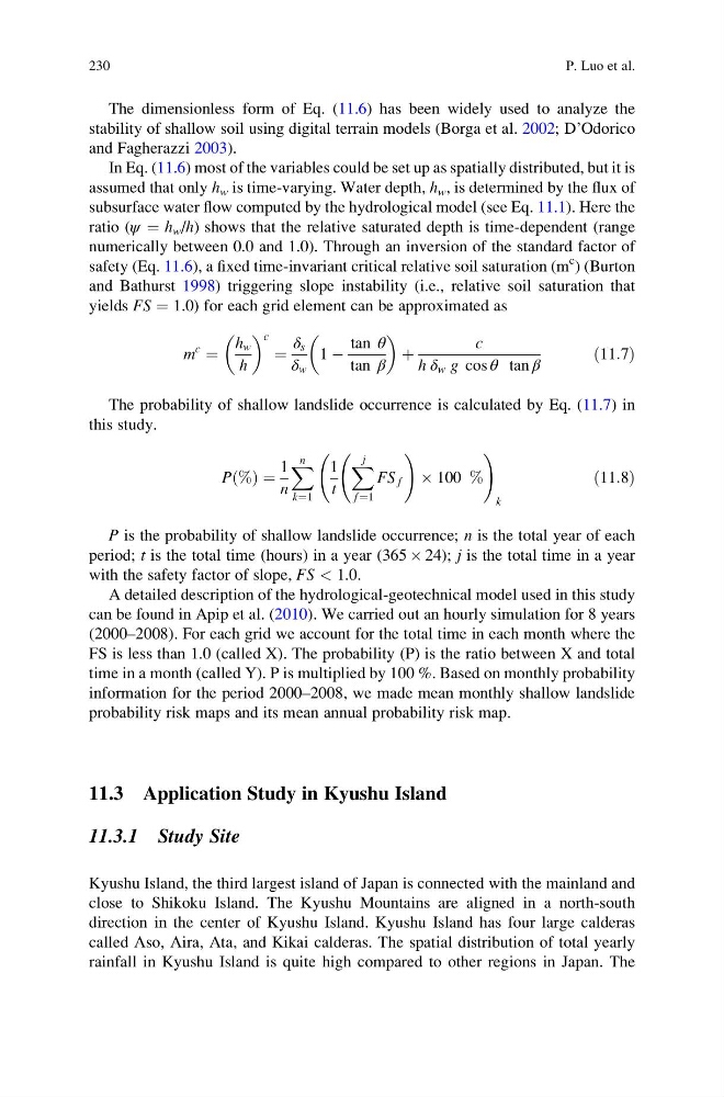
safety (Eq. 11.6), a fixed time-invariant critical relative soil saturation (m
c ) (Burton
and Bathurst 1998) triggering slope instability (i.e., relative soil saturation that
yields FS ¼ 1.0) for each grid element can be approximated as
m
c
¼
h w
h
c
¼
δ s
δ w
1 À
tan θ
tan β
þ
c
h δ w g cos θ tan β
ð11:7Þ
The probability of shallow landslide occurrence is calculated by Eq. (11.7) in
this study.
P %
ð Þ ¼
1
n
X n
k¼1
1
t
X j
f ¼1
FS f
!
 100 %
!
k
ð11:8Þ
P is the probability of shallow landslide occurrence; n is the total year of each
period; t is the total time (hours) in a year (365 Â 24); j is the total time in a year
with the safety factor of slope, FS < 1.0.
A detailed description of the hydrological-geotechnical model used in this study
can be found in Apip et al. (2010). We carried out an hourly simulation for 8 years
(2000–2008). For each grid we account for the total time in each month where the
FS is less than 1.0 (called X). The probability (P) is the ratio between X and total
time in a month (called Y). P is multiplied by 100 %. Based on monthly probability
information for the period 2000–2008, we made mean monthly shallow landslide
probability risk maps and its mean annual probability risk map.
11.3 Application Study in Kyushu Island
11.3.1 Study Site
Kyushu Island, the third largest island of Japan is connected with the mainland and
close to Shikoku Island. The Kyushu Mountains are aligned in a north-south
direction in the center of Kyushu Island. Kyushu Island has four large calderas
called Aso, Aira, Ata, and Kikai calderas. The spatial distribution of total yearly
rainfall in Kyushu Island is quite high compared to other regions in Japan. The
230
P. Luo et al.
stability of shallow soil using digital terrain models (Borga et al. 2002; D’Odorico
and Fagherazzi 2003).
In Eq. (11.6) most of the variables could be set up as spatially distributed, but it is
assumed that only h w is time-varying. Water depth, h w , is determined by the flux of
subsurface water flow computed by the hydrological model (see Eq. 11.1). Here the
ratio (ψ ¼ h w /h) shows that the relative saturated depth is time-dependent (range
numerically between 0.0 and 1.0). Through an inversion of the standard factor of
safety (Eq. 11.6), a fixed time-invariant critical relative soil saturation (m
c ) (Burton
and Bathurst 1998) triggering slope instability (i.e., relative soil saturation that
yields FS ¼ 1.0) for each grid element can be approximated as
m
c
¼
h w
h
c
¼
δ s
δ w
1 À
tan θ
tan β
þ
c
h δ w g cos θ tan β
ð11:7Þ
The probability of shallow landslide occurrence is calculated by Eq. (11.7) in
this study.
P %
ð Þ ¼
1
n
X n
k¼1
1
t
X j
f ¼1
FS f
!
 100 %
!
k
ð11:8Þ
P is the probability of shallow landslide occurrence; n is the total year of each
period; t is the total time (hours) in a year (365 Â 24); j is the total time in a year
with the safety factor of slope, FS < 1.0.
A detailed description of the hydrological-geotechnical model used in this study
can be found in Apip et al. (2010). We carried out an hourly simulation for 8 years
(2000–2008). For each grid we account for the total time in each month where the
FS is less than 1.0 (called X). The probability (P) is the ratio between X and total
time in a month (called Y). P is multiplied by 100 %. Based on monthly probability
information for the period 2000–2008, we made mean monthly shallow landslide
probability risk maps and its mean annual probability risk map.
11.3 Application Study in Kyushu Island
11.3.1 Study Site
Kyushu Island, the third largest island of Japan is connected with the mainland and
close to Shikoku Island. The Kyushu Mountains are aligned in a north-south
direction in the center of Kyushu Island. Kyushu Island has four large calderas
called Aso, Aira, Ata, and Kikai calderas. The spatial distribution of total yearly
rainfall in Kyushu Island is quite high compared to other regions in Japan. The
230
P. Luo et al.