

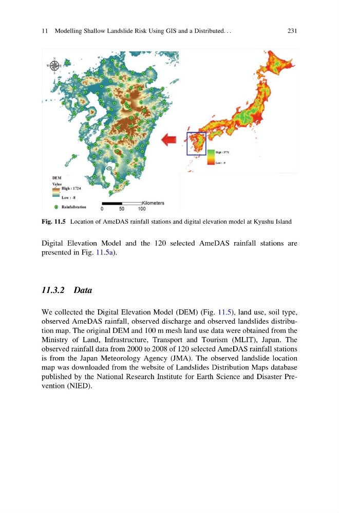
Digital Elevation Model and the 120 selected AmeDAS rainfall stations are
presented in Fig. 11.5a).
11.3.2 Data
We collected the Digital Elevation Model (DEM) (Fig. 11.5), land use, soil type,
observed AmeDAS rainfall, observed discharge and observed landslides distribution map. The original DEM and 100 m mesh land use data were obtained from the
Ministry of Land, Infrastructure, Transport and Tourism (MLIT), Japan. The
observed rainfall data from 2000 to 2008 of 120 selected AmeDAS rainfall stations
is from the Japan Meteorology Agency (JMA). The observed landslide location
map was downloaded from the website of Landslides Distribution Maps database
published by the National Research Institute for Earth Science and Disaster Prevention (NIED).
Fig. 11.5 Location of AmeDAS rainfall stations and digital elevation model at Kyushu Island
11 Modelling Shallow Landslide Risk Using GIS and a Distributed. . .
231
presented in Fig. 11.5a).
11.3.2 Data
We collected the Digital Elevation Model (DEM) (Fig. 11.5), land use, soil type,
observed AmeDAS rainfall, observed discharge and observed landslides distribution map. The original DEM and 100 m mesh land use data were obtained from the
Ministry of Land, Infrastructure, Transport and Tourism (MLIT), Japan. The
observed rainfall data from 2000 to 2008 of 120 selected AmeDAS rainfall stations
is from the Japan Meteorology Agency (JMA). The observed landslide location
map was downloaded from the website of Landslides Distribution Maps database
published by the National Research Institute for Earth Science and Disaster Prevention (NIED).
Fig. 11.5 Location of AmeDAS rainfall stations and digital elevation model at Kyushu Island
11 Modelling Shallow Landslide Risk Using GIS and a Distributed. . .
231