

7.5.2 Produce of Automated Landform Classification Map
Automatic landform classification was carried out using 1 m grid autumn season
DEM, by combining three categories, such as slope degree (gentle and steep),
convexity (convex and concave) and roughness (rough and smooth) derived from
the DEM (Fig. 7.12).
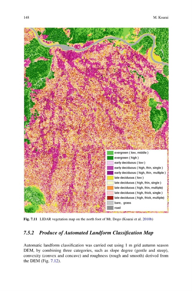
Fig. 7.11 LIDAR vegetation map on the north foot of Mt. Dogo (Koarai et al. 2010b)
148
M. Koarai
Automatic landform classification was carried out using 1 m grid autumn season
DEM, by combining three categories, such as slope degree (gentle and steep),
convexity (convex and concave) and roughness (rough and smooth) derived from
the DEM (Fig. 7.12).
Fig. 7.11 LIDAR vegetation map on the north foot of Mt. Dogo (Koarai et al. 2010b)
148
M. Koarai