

7.4.3 Relationship Between Vegitation and Landform
The results of overlay analysis of LIDAR vegetation map and automated landform
classification map are shown in Fig. 7.7. Bare, grass and Pinus pmila, and deciduous
single layer trees have high ratio of gentle slope compared with deciduous multiple
layer trees and evergreen trees. There is gentle slope of pyroclastic flow deposits on
high elevation area. With these reasons, the author considers that three dimensional
vegetation structures on Mt. Rausu are subject to site elevation rather than micro
landform classification (Koarai et al. 2010b).
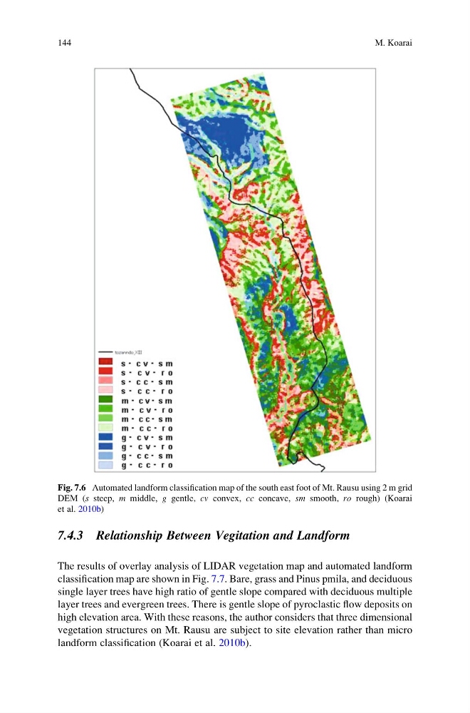
Fig. 7.6 Automated landform classification map of the south east foot of Mt. Rausu using 2 m grid
DEM (s steep, m middle, g gentle, cv convex, cc concave, sm smooth, ro rough) (Koarai
et al. 2010b)
144
M. Koarai
The results of overlay analysis of LIDAR vegetation map and automated landform
classification map are shown in Fig. 7.7. Bare, grass and Pinus pmila, and deciduous
single layer trees have high ratio of gentle slope compared with deciduous multiple
layer trees and evergreen trees. There is gentle slope of pyroclastic flow deposits on
high elevation area. With these reasons, the author considers that three dimensional
vegetation structures on Mt. Rausu are subject to site elevation rather than micro
landform classification (Koarai et al. 2010b).
Fig. 7.6 Automated landform classification map of the south east foot of Mt. Rausu using 2 m grid
DEM (s steep, m middle, g gentle, cv convex, cc concave, sm smooth, ro rough) (Koarai
et al. 2010b)
144
M. Koarai