

for their future. Two steps were done to determine land use data in individual years.
Detailed city map classes of the latest period were simplified and aggregated (see
Table 5.2) and thus more general classes were formed. Detailed class polygons
were edited according to the real land use state by eliminating areas only planned
and merged into the above-mentioned simplified five land use classes and respective polygons.
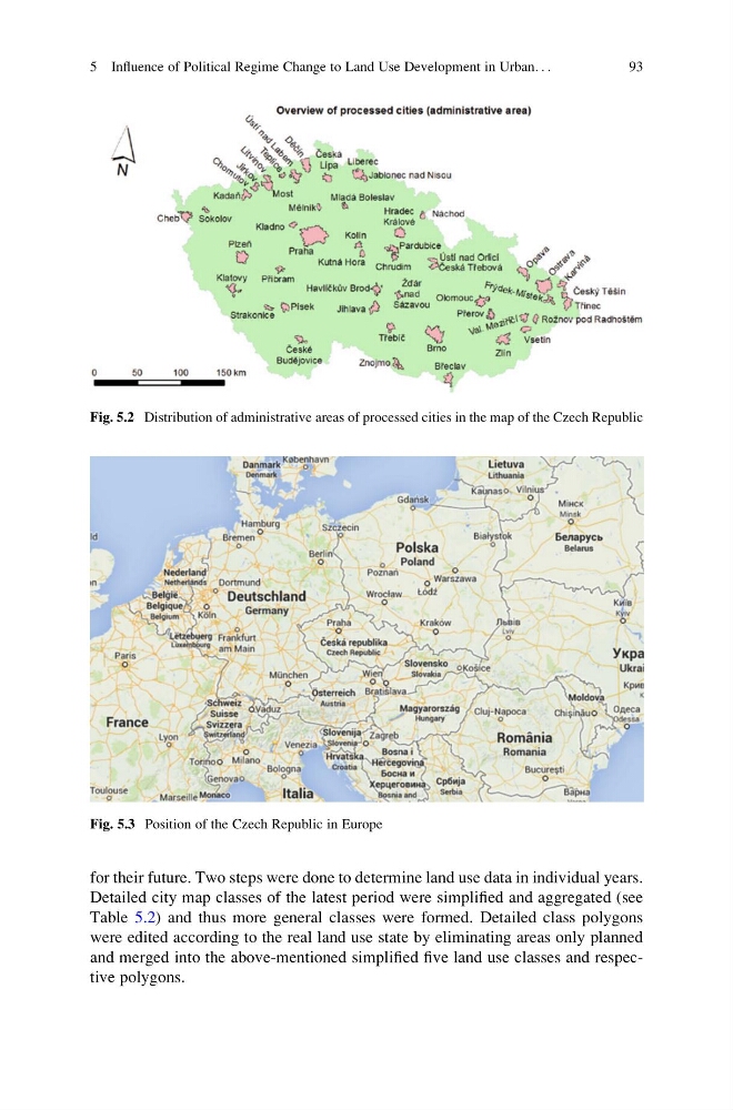
Fig. 5.2 Distribution of administrative areas of processed cities in the map of the Czech Republic
Fig. 5.3 Position of the Czech Republic in Europe
5 Influence of Political Regime Change to Land Use Development in Urban. . .
93
Detailed city map classes of the latest period were simplified and aggregated (see
Table 5.2) and thus more general classes were formed. Detailed class polygons
were edited according to the real land use state by eliminating areas only planned
and merged into the above-mentioned simplified five land use classes and respective polygons.
Fig. 5.2 Distribution of administrative areas of processed cities in the map of the Czech Republic
Fig. 5.3 Position of the Czech Republic in Europe
5 Influence of Political Regime Change to Land Use Development in Urban. . .
93