

G. Gabert: Integrati on of LANDSAT TM Data and SPOT Digital Elevation Model
167
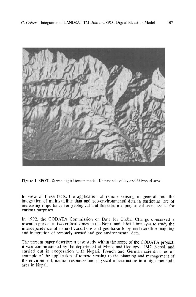
Figure 1. SPOT - Stereo digital terrain model: Kathmandu valley and Shivapuri area.
In view of these facts, the application of remote sensing in general, and the
integration of multisatellite data and geo-environmental data in particular, are of
increasing importance for geological and thematic mapping at different scales for
various purposes.
In 1992, the CODATA Commission on Data for Global Change conceived a
research project in two critical zones in the Nepal and Tibet Himalayas to study the
interdependence of natural conditions and geo-hazards by multisatellite mapping
and integration of remotely sensed and geo-environmental data.
The present paper describes a case study within the scope of the CODATA project;
it was commissioned by the department of Mines and Geology, HMG Nepal, and
carried out in cooperation with Nepali, French and German scientists as an
example of the application of remote sensing to the planning and management of
the environment, natural resources and physical infrastructure in a high mountain
area in Nepal.
167
Figure 1. SPOT - Stereo digital terrain model: Kathmandu valley and Shivapuri area.
In view of these facts, the application of remote sensing in general, and the
integration of multisatellite data and geo-environmental data in particular, are of
increasing importance for geological and thematic mapping at different scales for
various purposes.
In 1992, the CODATA Commission on Data for Global Change conceived a
research project in two critical zones in the Nepal and Tibet Himalayas to study the
interdependence of natural conditions and geo-hazards by multisatellite mapping
and integration of remotely sensed and geo-environmental data.
The present paper describes a case study within the scope of the CODATA project;
it was commissioned by the department of Mines and Geology, HMG Nepal, and
carried out in cooperation with Nepali, French and German scientists as an
example of the application of remote sensing to the planning and management of
the environment, natural resources and physical infrastructure in a high mountain
area in Nepal.