

158
A. Curd and A. Pibot
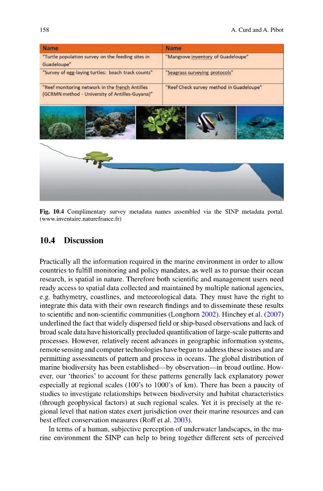
Fig. 10.4 Complimentary survey metadata names assembled via the SINP metadata portal.
(www.inventaire.naturefrance.fr)
10.4 Discussion
Practically all the information required in the marine environment in order to allow
countries to fulfill monitoring and policy mandates, as well as to pursue their ocean
research, is spatial in nature. Therefore both scientific and management users need
ready access to spatial data collected and maintained by multiple national agencies,
e.g. bathymetry, coastlines, and meteorological data. They must have the right to
integrate this data with their own research findings and to disseminate these results
to scientific and non-scientific communities (Longhorn 2002). Hinchey et al. (2007)
underlined the fact that widely dispersed field or ship-based observations and lack of
broad scale data have historically precluded quantification of large-scale patterns and
processes. However, relatively recent advances in geographic information systems,
remote sensing and computer technologies have begun to address these issues and are
permitting assessments of pattern and process in oceans. The global distribution of
marine biodiversity has been established—by observation—in broad outline. However, our ‘theories’ to account for these patterns generally lack explanatory power
especially at regional scales (100’s to 1000’s of km). There has been a paucity of
studies to investigate relationships between biodiversity and habitat characteristics
(through geophysical factors) at such regional scales. Yet it is precisely at the regional level that nation states exert jurisdiction over their marine resources and can
best effect conservation measures (Roff et al. 2003).
In terms of a human, subjective perception of underwater landscapes, in the marine environment the SINP can help to bring together different sets of perceived
A. Curd and A. Pibot
Fig. 10.4 Complimentary survey metadata names assembled via the SINP metadata portal.
(www.inventaire.naturefrance.fr)
10.4 Discussion
Practically all the information required in the marine environment in order to allow
countries to fulfill monitoring and policy mandates, as well as to pursue their ocean
research, is spatial in nature. Therefore both scientific and management users need
ready access to spatial data collected and maintained by multiple national agencies,
e.g. bathymetry, coastlines, and meteorological data. They must have the right to
integrate this data with their own research findings and to disseminate these results
to scientific and non-scientific communities (Longhorn 2002). Hinchey et al. (2007)
underlined the fact that widely dispersed field or ship-based observations and lack of
broad scale data have historically precluded quantification of large-scale patterns and
processes. However, relatively recent advances in geographic information systems,
remote sensing and computer technologies have begun to address these issues and are
permitting assessments of pattern and process in oceans. The global distribution of
marine biodiversity has been established—by observation—in broad outline. However, our ‘theories’ to account for these patterns generally lack explanatory power
especially at regional scales (100’s to 1000’s of km). There has been a paucity of
studies to investigate relationships between biodiversity and habitat characteristics
(through geophysical factors) at such regional scales. Yet it is precisely at the regional level that nation states exert jurisdiction over their marine resources and can
best effect conservation measures (Roff et al. 2003).
In terms of a human, subjective perception of underwater landscapes, in the marine environment the SINP can help to bring together different sets of perceived