

varies in different regions and depends upon the frequency
and intensity of cyclones, the tidal range, and the elevation
of the islands. Severe tropical cyclones are more likely to
occur in latitudes 15
to 20
than in lower latitudes. Large
tidal ranges reduce the risk of flooding from storm surges.
Hence, cays within the GBR, where tidal ranges are generally at least 2 m, are less likely to be flooded than the ones
in the Caribbean or the central Pacific and Indian Oceans,
where tidal ranges are generally significantly less than 1
m. For example, if the peak surge and largest waves occur
at low tide in the southern GBR, damage to infrastructure
will be caused largely by wind and rain but not by waves.
However, if the peak conditions occur at a high spring tide
(range ca 3 m), massive destruction of both natural island
geomorphology and human infrastructure almost certainly
will occur with probable loss of life if prior evacuation of
humans has not been possible.
Distant storms, hundreds or even a few thousand kilometers away from a reef island, can generate swells which
break on the island’s protecting reef causing significant
wave set-up, particularly in microtidal environments. On
some occasions, the resulting higher water levels and
larger waves on the reef top will erode beaches, damage
harbor breakwaters and flood settlements on low-lying
land behind the reef (see Chapter Wave Set-Up).
Tsunamis also may occur under clear skies and without
large storm waves or strong winds. Inundation may be
total such as that which occurred in the low-lying reef
islands of the Maldives in December 2004. Infrastructure
damage will occur but loss of life may not be large, if adequate warnings are possible and people can be evacuated
to high ground or specially constructed refuge towers or
even boats in open water to ride out of the passage of the
tsunami. Total inundation of a reef island by storm surge
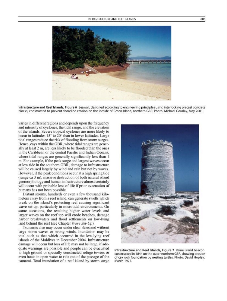
Infrastructure and Reef Islands, Figure 6 Seawall, designed according to engineering principles using interlocking precast concrete
blocks, constructed to prevent shoreline erosion on the leeside of Green Island, northern GBR. Photo: Michael Gourlay, May 2001.
Infrastructure and Reef Islands, Figure 7 Raine Island beacon
constructed in 1844 on the outer northern GBR, showing erosion
of cay rock foundation by nesting turtles. Photo: David Hopley,
March 1977.
INFRASTRUCTURE AND REEF ISLANDS
605