

723
intervals, rates of accretion can be determined. This method does not account for
other changes such as sediment compaction. The only way to measure absolute
change in surface elevation is with a complementary technology like Rod Sediment
Elevation Tables (RSET) or RTK DGPS. In our case, because significant changes in
surface elevation were expected (i.e., cm to dm), and because ice would have
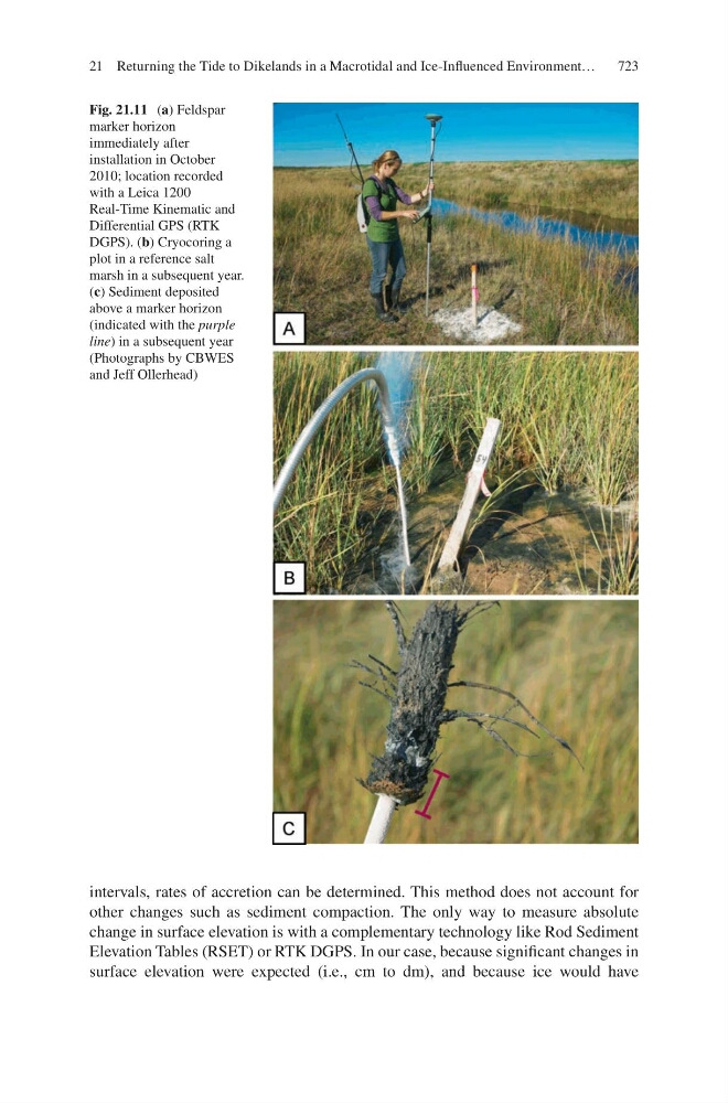
Fig. 21.11 (a) Feldspar
marker horizon
immediately after
installation in October
2010; location recorded
with a Leica 1200
Real-Time Kinematic and
Differential GPS (RTK
DGPS). (b) Cryocoring a
plot in a reference salt
marsh in a subsequent year.
(c) Sediment deposited
above a marker horizon
(indicated with the purple
line) in a subsequent year
(Photographs by CBWES
and Jeff Ollerhead)
21 Returning the Tide to Dikelands in a Macrotidal and Ice-Influenced Environment…