

618
(iv) Drainage density/Running water spread: Percentage area of running water
near mangroves is calculated using the area covered by creeks and canals
network based on satellite images and field measurements.
(v) Natural regeneration: Field observations in the post monsoon season conducted to map the natural regeneration in the wetland
(vi) Anthropogenic stress: Information on pollution, dredging, grazing, reclamation, population pressure, etc. have been obtained through field data
collection
0
1Kilometers
N
Bay of Bengal
Species
Less than 2 mangrove species
Two mangrove species
More than 2 mangrove species
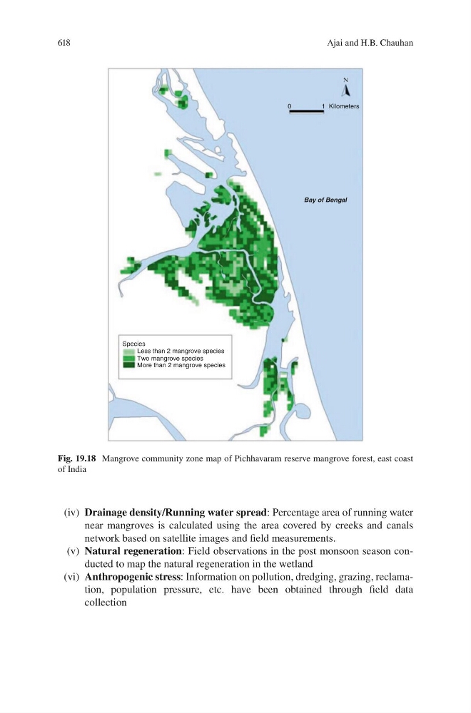
Fig. 19.18 Mangrove community zone map of Pichhavaram reserve mangrove forest, east coast
of India
Ajai and H.B. Chauhan