

594
19.6 Monitoring of Mangroves
Monitoring of the coastal zones and its landuse/landforms as well as vital habitats
has become simpler and cost effective with the availability of high spatial resolution
data from earth observation satellites during the past three decades. Many studies on
monitoring of mangrove ecosystems have been carried out using multi date satellite
data (Kanniah et al. 2015; Bhavsar et al. 2014; Kumar et al. 2012a, b; Aizpuru et al.
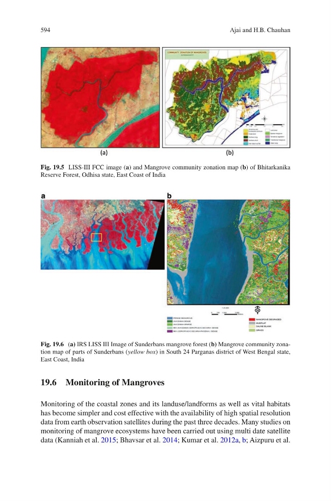
Fig. 19.5 LISS-III FCC image (a) and Mangrove community zonation map (b) of Bhitarkanika
Reserve Forest, Odhisa state, East Coast of India
Fig. 19.6 (a) IRS LISS III Image of Sunderbans mangrove forest (b) Mangrove community zonation map of parts of Sunderbans (yellow box) in South 24 Parganas district of West Bengal state,
East Coast, India
Ajai and H.B. Chauhan