

356
Ecological Classification and Mapping of Aquatic Systems
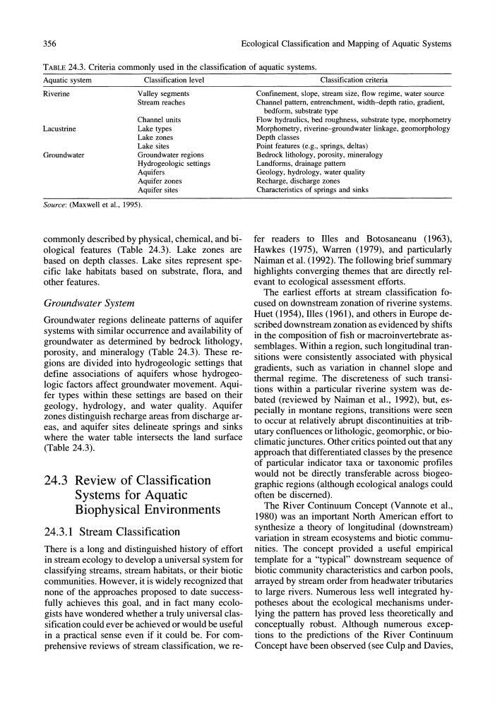
TABLE 24.3. Criteria commonly used in the classification of aquatic systems.
Aquatic system
Riverine
Lacustrine
Groundwater
Classification level
Valley segments
Stream reaches
Channel units
Lake types
Lake zones
Lake sites
Groundwater regions
Hydrogeologic settings
Aquifers
Aquifer zones
Aquifer sites
Source: (Maxwell et al., 1995).
commonly described by physical, chemical, and biological features (Table 24.3). Lake zones are
based on depth classes. Lake sites represent specific lake habitats based On substrate, flora, and
other features.
Groundwater System
Groundwater regions delineate patterns of aquifer
systems with similar occurrence and availability of
groundwater as determined by bedrock lithology,
porosity, and mineralogy (Table 24.3). These regions are divided into hydrogeologic settings that
define associations of aquifers whose hydrogeologic factors affect groundwater movement. Aquifer types within these settings are based on their
geology, hydrology, and water quality. Aquifer
zones distinguish recharge areas from discharge areas' and aquifer sites delineate springs and sinks
where the water table intersects the land surface
(Table 24.3).
24.3 Review of Classification
Systems for Aquatic
Biophysical Environments
24.3.1 Stream Classification
There is a long and distinguished history of effort
in stream ecology to develop a universal system for
classifying streams, stream habitats, or their biotic
communities. However, it is widely recognized that
none of the approaches proposed to date successfully achieves this goal, and in fact many ecologists have wondered whether a truly universal classification could ever be achieved or would be useful
in a practical sense even if it could be. For comprehensive reviews of stream classification, we reClassification criteria
Confinement, slope, stream size, flow regime, water source
Channel pattern, entrenchment, width-depth ratio, gradient,
bedform, substrate type
Flow hydraulics, bed roughness, substrate type, morphometry
Morphometry, riverine-groundwater linkage, geomorphology
Depth classes
Point features (e.g., springs, deltas)
Bedrock lithology, porosity, mineralogy
Landforms, drainage pattern
Geology, hydrology, water quality
Recharge, discharge zones
Characteristics of springs and sinks
fer readers to Illes and Botosaneanu (1963),
Hawkes (1975), Warren (1979), and particularly
Naiman et al. (1992). The following brief summary
highlights converging themes that are directly relevant to ecological assessment efforts.
The earliest efforts at stream classification focused On downstream zonation of riverine systems.
Huet (1954), Illes (1961), and others in Europe described downstream zonation as evidenced by shifts
in the composition of fish or macro invertebrate assemblages. Within a region, such longitudinal transitions were consistently associated with physical
gradients, such as variation in channel slope and
thermal regime. The discreteness of such transitions within a particular riverine system was debated (reviewed by Naiman et al., 1992), but, especially in montane regions, transitions were seen
to occur at relatively abrupt discontinuities at tributary confluences or lithologic, geomorphic, or bioclimatic junctures. Other critics pointed out that any
approach that differentiated classes by the presence
of particular indicator taxa or taxonomic profiles
would not be directly transferable across biogeographic regions (although ecological analogs could
often be discerned).
The River Continuum Concept (Vannote et al.,
1980) was an important North American effort to
synthesize a theory of longitudinal (downstream)
variation in stream ecosystems and biotic communities. The concept provided a useful empirical
template for a "typical" downstream sequence of
biotic community characteristics and carbon pools,
arrayed by stream order from headwater tributaries
to large rivers. Numerous less well integrated hypotheses about the ecological mechanisms underlying the pattern has proved less theoretically and
conceptually robust. Although numerous exceptions to the predictions of the River Continuum
Concept have been observed (see Culp and Davies,
Ecological Classification and Mapping of Aquatic Systems
TABLE 24.3. Criteria commonly used in the classification of aquatic systems.
Aquatic system
Riverine
Lacustrine
Groundwater
Classification level
Valley segments
Stream reaches
Channel units
Lake types
Lake zones
Lake sites
Groundwater regions
Hydrogeologic settings
Aquifers
Aquifer zones
Aquifer sites
Source: (Maxwell et al., 1995).
commonly described by physical, chemical, and biological features (Table 24.3). Lake zones are
based on depth classes. Lake sites represent specific lake habitats based On substrate, flora, and
other features.
Groundwater System
Groundwater regions delineate patterns of aquifer
systems with similar occurrence and availability of
groundwater as determined by bedrock lithology,
porosity, and mineralogy (Table 24.3). These regions are divided into hydrogeologic settings that
define associations of aquifers whose hydrogeologic factors affect groundwater movement. Aquifer types within these settings are based on their
geology, hydrology, and water quality. Aquifer
zones distinguish recharge areas from discharge areas' and aquifer sites delineate springs and sinks
where the water table intersects the land surface
(Table 24.3).
24.3 Review of Classification
Systems for Aquatic
Biophysical Environments
24.3.1 Stream Classification
There is a long and distinguished history of effort
in stream ecology to develop a universal system for
classifying streams, stream habitats, or their biotic
communities. However, it is widely recognized that
none of the approaches proposed to date successfully achieves this goal, and in fact many ecologists have wondered whether a truly universal classification could ever be achieved or would be useful
in a practical sense even if it could be. For comprehensive reviews of stream classification, we reClassification criteria
Confinement, slope, stream size, flow regime, water source
Channel pattern, entrenchment, width-depth ratio, gradient,
bedform, substrate type
Flow hydraulics, bed roughness, substrate type, morphometry
Morphometry, riverine-groundwater linkage, geomorphology
Depth classes
Point features (e.g., springs, deltas)
Bedrock lithology, porosity, mineralogy
Landforms, drainage pattern
Geology, hydrology, water quality
Recharge, discharge zones
Characteristics of springs and sinks
fer readers to Illes and Botosaneanu (1963),
Hawkes (1975), Warren (1979), and particularly
Naiman et al. (1992). The following brief summary
highlights converging themes that are directly relevant to ecological assessment efforts.
The earliest efforts at stream classification focused On downstream zonation of riverine systems.
Huet (1954), Illes (1961), and others in Europe described downstream zonation as evidenced by shifts
in the composition of fish or macro invertebrate assemblages. Within a region, such longitudinal transitions were consistently associated with physical
gradients, such as variation in channel slope and
thermal regime. The discreteness of such transitions within a particular riverine system was debated (reviewed by Naiman et al., 1992), but, especially in montane regions, transitions were seen
to occur at relatively abrupt discontinuities at tributary confluences or lithologic, geomorphic, or bioclimatic junctures. Other critics pointed out that any
approach that differentiated classes by the presence
of particular indicator taxa or taxonomic profiles
would not be directly transferable across biogeographic regions (although ecological analogs could
often be discerned).
The River Continuum Concept (Vannote et al.,
1980) was an important North American effort to
synthesize a theory of longitudinal (downstream)
variation in stream ecosystems and biotic communities. The concept provided a useful empirical
template for a "typical" downstream sequence of
biotic community characteristics and carbon pools,
arrayed by stream order from headwater tributaries
to large rivers. Numerous less well integrated hypotheses about the ecological mechanisms underlying the pattern has proved less theoretically and
conceptually robust. Although numerous exceptions to the predictions of the River Continuum
Concept have been observed (see Culp and Davies,