

24.2 Basic Concepts
355
TABLE 24.2. Overview of the USDA, Forest Service, national hierarchical framework for terrestrial
ecological units.
Mapping level
Typical size (scale)
Primary design criteria
Associated characteristics
Domain
100,000 square miles
Climatic zone or group
Repeatable patterns of vegetation
(1 : 30,000,(00)
classes or subclasses and soil orders
or suborders
Division
50,000 square miles
Climatic type (Koppen, 1931)
Repeatable patterns of vegetation
(I : 15,000,000)
subclasses or formations and soil
suborders or great groups
Province
5000 square miles
Hammond's (1954) land surface form,
Repeatable patterns of vegetation
(1 : 3,000,000)
plant climax formation patterns
formations and soil great groups
Section
1000 square miles
Climax plant series patterns following
Repeatable patterns of vegetation series
(1 : 1,000,000)
Kuchler (1964)
and soil subgroups or great groups
Subsection
100 square miles
Geologic (e.g., lithology structure),
Repeatable patterns of vegetation series
(I : 500,000)
physiographic (e.g., glaciated
and soil subgroups
mountain slopes), and statewide
climatic zones
Landtype
10 square miles
Physiographic and geologic criteria
Repeatable patterns of plant association
association
(1 : 250,0(0)
(e.g., fluvial dissected, granitic,
groups and soil subgroups
mountain breaJdands)
Landtype
I square mile
Physiographic criteria (e.g., landform,
Repeatable patterns of plant associations,
(I: 63,000)
shape, elevation, range, drainage,
soil families, and stream types
aspect, dissection characteristics)
Landtype
0.1 square mile
Topographic criteria (e.g., percent
Repeatable patterns of soil series,
phase
(1 : 24,000)
slope, position, aspect, plant
ecological sites, and fishery habitat
association soil family, stream type)
components
Site
0.01 square mile
Ecological site, phase of soil family,
(I : 15,840)
fishery habitat components (e.g.,
pools)
Source: Cleland et al., 1997.
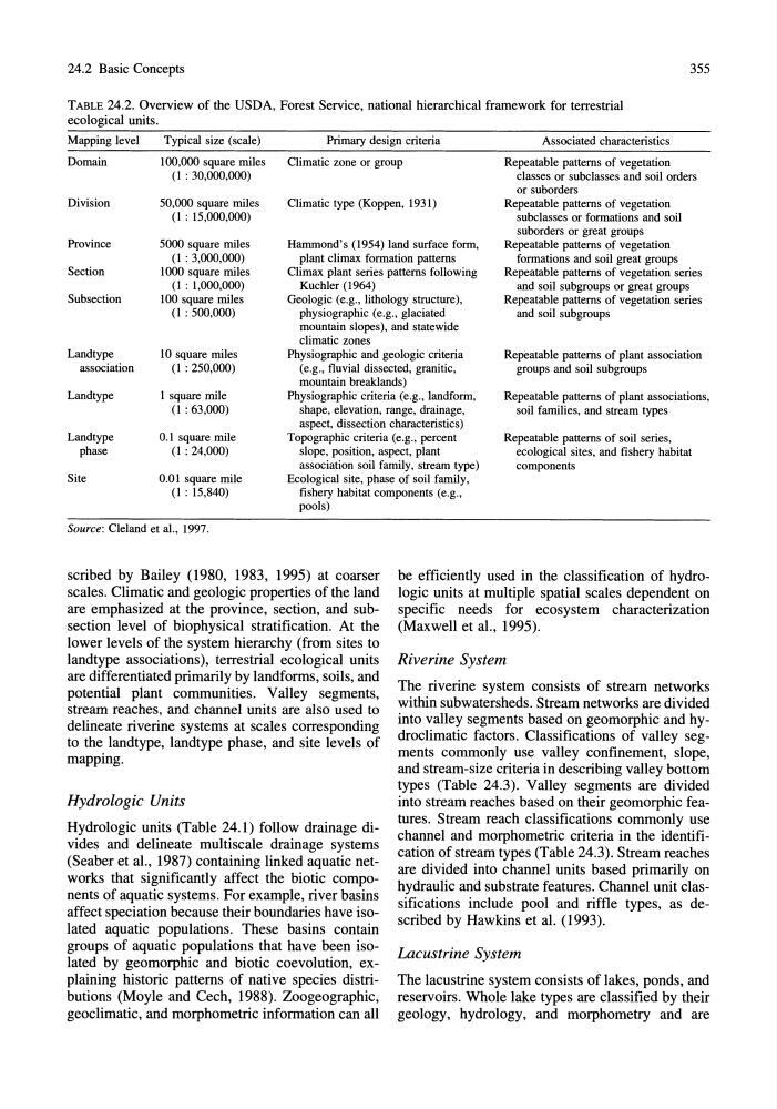
scribed by Bailey (1980, 1983, 1995) at coarser
scales. Climatic and geologic properties of the land
are emphasized at the province, section, and subsection level of biophysical stratification. At the
lower levels of the system hierarchy (from sites to
landtype associations), terrestrial ecological units
are differentiated primarily by landforms, soils, and
potential plant communities. Valley segments,
stream reaches, and channel units are also used to
delineate riverine systems at scales corresponding
to the landtype, landtype phase, and site levels of
mapping.
Hydrologic Units
Hydrologic units (Table 24.1) follow drainage divides and delineate multiscale drainage systems
(Seaber et aI., 1987) containing linked aquatic networks that significantly affect the biotic components of aquatic systems. For example, river basins
affect speciation because their boundaries have isolated aquatic populations. These basins contain
groups of aquatic populations that have been isolated by geomorphic and biotic coevolution, explaining historic patterns of native species distributions (Moyle and Cech, 1988). Zoogeographic,
geoclimatic, and morphometric information can all
be efficiently used in the classification of hydrologic units at multiple spatial scales dependent on
specific needs for ecosystem characterization
(Maxwell et aI., 1995).
Riverine System
The riverine system consists of stream networks
within subwatersheds. Stream networks are divided
into valley segments based on geomorphic and hydroclimatic factors. Classifications of valley segments commonly use valley confinement, slope,
and stream-size criteria in describing valley bottom
types (Table 24.3). Valley segments are divided
into stream reaches based on their geomorphic features. Stream reach classifications commonly use
channel and morphometric criteria in the identification of stream types (Table 24.3). Stream reaches
are divided into channel units based primarily on
hydraulic and substrate features. Channel unit classifications include pool and riffle types, as described by Hawkins et a1. (1993).
Lacustrine System
The lacustrine system consists of lakes, ponds, and
reservoirs. Whole lake types are classified by their
geology, hydrology, and morphometry and are
355
TABLE 24.2. Overview of the USDA, Forest Service, national hierarchical framework for terrestrial
ecological units.
Mapping level
Typical size (scale)
Primary design criteria
Associated characteristics
Domain
100,000 square miles
Climatic zone or group
Repeatable patterns of vegetation
(1 : 30,000,(00)
classes or subclasses and soil orders
or suborders
Division
50,000 square miles
Climatic type (Koppen, 1931)
Repeatable patterns of vegetation
(I : 15,000,000)
subclasses or formations and soil
suborders or great groups
Province
5000 square miles
Hammond's (1954) land surface form,
Repeatable patterns of vegetation
(1 : 3,000,000)
plant climax formation patterns
formations and soil great groups
Section
1000 square miles
Climax plant series patterns following
Repeatable patterns of vegetation series
(1 : 1,000,000)
Kuchler (1964)
and soil subgroups or great groups
Subsection
100 square miles
Geologic (e.g., lithology structure),
Repeatable patterns of vegetation series
(I : 500,000)
physiographic (e.g., glaciated
and soil subgroups
mountain slopes), and statewide
climatic zones
Landtype
10 square miles
Physiographic and geologic criteria
Repeatable patterns of plant association
association
(1 : 250,0(0)
(e.g., fluvial dissected, granitic,
groups and soil subgroups
mountain breaJdands)
Landtype
I square mile
Physiographic criteria (e.g., landform,
Repeatable patterns of plant associations,
(I: 63,000)
shape, elevation, range, drainage,
soil families, and stream types
aspect, dissection characteristics)
Landtype
0.1 square mile
Topographic criteria (e.g., percent
Repeatable patterns of soil series,
phase
(1 : 24,000)
slope, position, aspect, plant
ecological sites, and fishery habitat
association soil family, stream type)
components
Site
0.01 square mile
Ecological site, phase of soil family,
(I : 15,840)
fishery habitat components (e.g.,
pools)
Source: Cleland et al., 1997.
scribed by Bailey (1980, 1983, 1995) at coarser
scales. Climatic and geologic properties of the land
are emphasized at the province, section, and subsection level of biophysical stratification. At the
lower levels of the system hierarchy (from sites to
landtype associations), terrestrial ecological units
are differentiated primarily by landforms, soils, and
potential plant communities. Valley segments,
stream reaches, and channel units are also used to
delineate riverine systems at scales corresponding
to the landtype, landtype phase, and site levels of
mapping.
Hydrologic Units
Hydrologic units (Table 24.1) follow drainage divides and delineate multiscale drainage systems
(Seaber et aI., 1987) containing linked aquatic networks that significantly affect the biotic components of aquatic systems. For example, river basins
affect speciation because their boundaries have isolated aquatic populations. These basins contain
groups of aquatic populations that have been isolated by geomorphic and biotic coevolution, explaining historic patterns of native species distributions (Moyle and Cech, 1988). Zoogeographic,
geoclimatic, and morphometric information can all
be efficiently used in the classification of hydrologic units at multiple spatial scales dependent on
specific needs for ecosystem characterization
(Maxwell et aI., 1995).
Riverine System
The riverine system consists of stream networks
within subwatersheds. Stream networks are divided
into valley segments based on geomorphic and hydroclimatic factors. Classifications of valley segments commonly use valley confinement, slope,
and stream-size criteria in describing valley bottom
types (Table 24.3). Valley segments are divided
into stream reaches based on their geomorphic features. Stream reach classifications commonly use
channel and morphometric criteria in the identification of stream types (Table 24.3). Stream reaches
are divided into channel units based primarily on
hydraulic and substrate features. Channel unit classifications include pool and riffle types, as described by Hawkins et a1. (1993).
Lacustrine System
The lacustrine system consists of lakes, ponds, and
reservoirs. Whole lake types are classified by their
geology, hydrology, and morphometry and are