

10.2 Ecosystem Management and Remote Sensing: An Overview
137
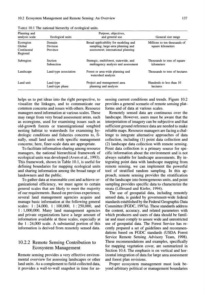
TABLE 10.1 The national hierarchy of ecological units.
Planning and
Purpose, objectives,
analysis scale
Ecological units
and general use
General size range
Ecoregion
Domain
Broad applicability for modeling and
Millions to ten thousands of
square kilometers
Global
Division
sampling; large-area planning and
Continental
Province
assessment; international planning
Regional
Subregion
Section
Strategic, multiforest, statewide, and
Thousands to tens of square
kilometers
Subsection
multiagency analysis and assessment
Landscape
Land-type association
Forest or area-wide planning and
Thousands to tens of hectares
watershed analysis
Land unit
Land type
Project and management area
Hundreds to less than 10
hectares
Land-type phase
planning and analysis
helps us to put ideas into the right perspective, to
visualize the linkages, and to communicate our
common concerns and issues with others. Resource
managers need information at various scales. These
may range from very broad assessment areas, such
as ecoregions, used for examining issues such as
old-growth forests or transmigrational songbird
nesting habitat to watersheds for examining hydrologic conditions and fisheries concerns to, finally, small land units with specific management
concerns; here, finer-scale data are appropriate.
To facilitate information sharing among resource
managers, the national hierarchical framework of
ecological units was developed (Avers et at, 1993).
This framework, shown in Table 10.1, is useful for
defining boundaries for mapping ecological units
and sharing information among the broad range of
landowners and the public.
To gather data at reasonable cost and achieve organizational efficiency, we must agree to certain
general scales that are likely to meet the majority
of our requirements. Based on previous experience,
several land management agencies acquire and
manage basic information at the following general
scales: 1: 24,000, 1: 100,000, 1: 250,000, and
1 : 1,000,000. Many land management agencies
and private organizations have a large amount of
information available at these scales, especially at
the I : 24,000 scale. A substantial portion of this
information is derived from remotely sensed data.
10.2.2 Remote Sensing Contribution to
Ecosystem Management
Remote sensing provides a very effective environmental overview for assessing landscapes or other
land units. As a complement to field-collected data,
it provides a wall-to-wall snapshot in time for assessing current conditions and trends. Figure 10.2
provides a general scenario of remote sensing platforms and of data at various scales.
Remotely sensed data are continuous over the
landscape. However, users must be aware that the
interpretation of imagery can be subjective and that
sufficient ground reference data are needed to make
reliable maps. Resource managers are facing a challenge to integrate alternative approaches of data
collection, including (1) point data collection and
(2) landscape data collection with remote sensing.
Point data collection is a primary source for specific information about the environment and is not
always suitable for landscape assessments. By integrating point data with landscape mapping from
remote sensing, we can implement the powerful
tool of stratified random sampling. In this approach, remote sensing provides the stratification
of the landscape into homogeneous units, and point
sampling provides specific data to characterize the
strata (Lillesand and Kiefer, 1994).
The use of geospatial data, including remotely
sensed data, is guided by government-wide federal
standards established by the Federal Geographic Data
Committee (FGDC, 1997a). These standards address
the content, accuracy, and related parameters with
which producers and users of data should be familiar and must comply to assure wide and unrestricted
use of geospatial data. The Forest Service has recently prepared a set of guidelines and recommendations based on FGDC standards (USDA Forest
Service Remote Sensing Advisory Team, 1998).
These recommendations and examples, specifically
for mapping vegetation cover, are summarized in
Section 10.4. The emphasis is on vertical and horizontal integration of data for large area assessment
and forest plan revisions.
Proper ecosystem management must look beyond arbitrary political or management boundaries
137
TABLE 10.1 The national hierarchy of ecological units.
Planning and
Purpose, objectives,
analysis scale
Ecological units
and general use
General size range
Ecoregion
Domain
Broad applicability for modeling and
Millions to ten thousands of
square kilometers
Global
Division
sampling; large-area planning and
Continental
Province
assessment; international planning
Regional
Subregion
Section
Strategic, multiforest, statewide, and
Thousands to tens of square
kilometers
Subsection
multiagency analysis and assessment
Landscape
Land-type association
Forest or area-wide planning and
Thousands to tens of hectares
watershed analysis
Land unit
Land type
Project and management area
Hundreds to less than 10
hectares
Land-type phase
planning and analysis
helps us to put ideas into the right perspective, to
visualize the linkages, and to communicate our
common concerns and issues with others. Resource
managers need information at various scales. These
may range from very broad assessment areas, such
as ecoregions, used for examining issues such as
old-growth forests or transmigrational songbird
nesting habitat to watersheds for examining hydrologic conditions and fisheries concerns to, finally, small land units with specific management
concerns; here, finer-scale data are appropriate.
To facilitate information sharing among resource
managers, the national hierarchical framework of
ecological units was developed (Avers et at, 1993).
This framework, shown in Table 10.1, is useful for
defining boundaries for mapping ecological units
and sharing information among the broad range of
landowners and the public.
To gather data at reasonable cost and achieve organizational efficiency, we must agree to certain
general scales that are likely to meet the majority
of our requirements. Based on previous experience,
several land management agencies acquire and
manage basic information at the following general
scales: 1: 24,000, 1: 100,000, 1: 250,000, and
1 : 1,000,000. Many land management agencies
and private organizations have a large amount of
information available at these scales, especially at
the I : 24,000 scale. A substantial portion of this
information is derived from remotely sensed data.
10.2.2 Remote Sensing Contribution to
Ecosystem Management
Remote sensing provides a very effective environmental overview for assessing landscapes or other
land units. As a complement to field-collected data,
it provides a wall-to-wall snapshot in time for assessing current conditions and trends. Figure 10.2
provides a general scenario of remote sensing platforms and of data at various scales.
Remotely sensed data are continuous over the
landscape. However, users must be aware that the
interpretation of imagery can be subjective and that
sufficient ground reference data are needed to make
reliable maps. Resource managers are facing a challenge to integrate alternative approaches of data
collection, including (1) point data collection and
(2) landscape data collection with remote sensing.
Point data collection is a primary source for specific information about the environment and is not
always suitable for landscape assessments. By integrating point data with landscape mapping from
remote sensing, we can implement the powerful
tool of stratified random sampling. In this approach, remote sensing provides the stratification
of the landscape into homogeneous units, and point
sampling provides specific data to characterize the
strata (Lillesand and Kiefer, 1994).
The use of geospatial data, including remotely
sensed data, is guided by government-wide federal
standards established by the Federal Geographic Data
Committee (FGDC, 1997a). These standards address
the content, accuracy, and related parameters with
which producers and users of data should be familiar and must comply to assure wide and unrestricted
use of geospatial data. The Forest Service has recently prepared a set of guidelines and recommendations based on FGDC standards (USDA Forest
Service Remote Sensing Advisory Team, 1998).
These recommendations and examples, specifically
for mapping vegetation cover, are summarized in
Section 10.4. The emphasis is on vertical and horizontal integration of data for large area assessment
and forest plan revisions.
Proper ecosystem management must look beyond arbitrary political or management boundaries