

During our visit, the island’s town mayor asked us if we could make a
bathymetric chart of the area available to them. The reason was that he knew that
tall volcanoes reaching shallow depths were good fishing grounds for his people.
Indeed, the Pitcairn Islanders essentially survived by fishing. Several times a week
they launched their whaling boats to the East, towards the recently formed volcanoes. Thus, we gave the islanders a recent map of the area and our gift was very
much appreciated.
Our visit of the island was shortened because the weather conditions were
worsening and the Captain wanted to be able to make a safe recovery of the people
who had gone on shore. Thus, our scientific exploration of the Pitcairn hotspot was
curtailed in order to pick up the 6 people we had left on land.
During another visit to Pitcairn, on September 11, 1999, with the N.O.
L’ATALANTE, our goal was to make a gravimetric calibration that would serve as
a reference station for the island in order to measure the gravity field near the
volcanic edifices at depth. We hoped the measurements made in this remote area
would increase the existing data we have concerning the Earth’s gravity field.
Since these measurements are more accurate on a solid, land-based area than at
sea, we went into the village near the town hall where Jacques Dubois (geophysicist) and Jérome Amman, an engineer from IPG in Paris, made their
measurements near the exposed anchor of the ‘‘Bounty’’. The town house, the
post office and other one-story, wooden houses surrounded the square. The
anchor of the ‘‘Bounty’’ had been previously recovered from Bounty Bay by
divers from National Geographic Society, and then given to the islanders.
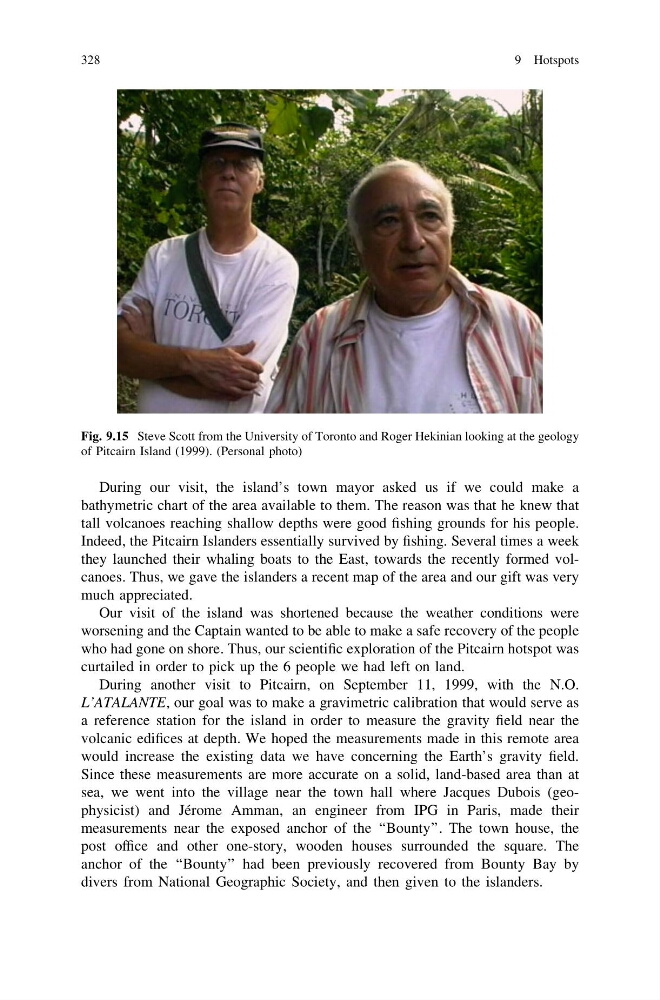
Fig. 9.15 Steve Scott from the University of Toronto and Roger Hekinian looking at the geology
of Pitcairn Island (1999). (Personal photo)
328
9 Hotspots
bathymetric chart of the area available to them. The reason was that he knew that
tall volcanoes reaching shallow depths were good fishing grounds for his people.
Indeed, the Pitcairn Islanders essentially survived by fishing. Several times a week
they launched their whaling boats to the East, towards the recently formed volcanoes. Thus, we gave the islanders a recent map of the area and our gift was very
much appreciated.
Our visit of the island was shortened because the weather conditions were
worsening and the Captain wanted to be able to make a safe recovery of the people
who had gone on shore. Thus, our scientific exploration of the Pitcairn hotspot was
curtailed in order to pick up the 6 people we had left on land.
During another visit to Pitcairn, on September 11, 1999, with the N.O.
L’ATALANTE, our goal was to make a gravimetric calibration that would serve as
a reference station for the island in order to measure the gravity field near the
volcanic edifices at depth. We hoped the measurements made in this remote area
would increase the existing data we have concerning the Earth’s gravity field.
Since these measurements are more accurate on a solid, land-based area than at
sea, we went into the village near the town hall where Jacques Dubois (geophysicist) and Jérome Amman, an engineer from IPG in Paris, made their
measurements near the exposed anchor of the ‘‘Bounty’’. The town house, the
post office and other one-story, wooden houses surrounded the square. The
anchor of the ‘‘Bounty’’ had been previously recovered from Bounty Bay by
divers from National Geographic Society, and then given to the islanders.
Fig. 9.15 Steve Scott from the University of Toronto and Roger Hekinian looking at the geology
of Pitcairn Island (1999). (Personal photo)
328
9 Hotspots