

37.2.3 Local Relief Model
Visualization of elevation data (Nova ´k 2014) collected by aerial laser scanning for
archaeological use is a widely discussed topic. Every method has its advantages and
disadvantages in usability, efficiency, time consumption. It is obvious that simple
shaded relief model (hillshade) is not sufficient for archaeological research and
there are much better ways of visualization. Local relief model (Bofinger and Hesse
2011) (LRM) is one of the most useful and efficient way to visualize elevation data
stored in raster as digital elevation model (DEM). The basic idea behind the method
is “filtering out” terrain surface leaving just archaeological features and their
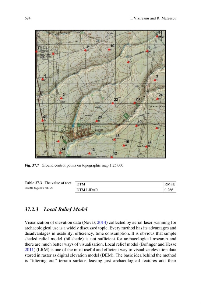
Fig. 37.7 Ground control points on topographic map 1:25,000
Table 37.3 The value of root
mean square error
DTM
RMSE
DTM LIDAR
0.266
624
I. Vizireanu and R. Mateescu