

37.2.2 Procedures – Digital Terrain Model
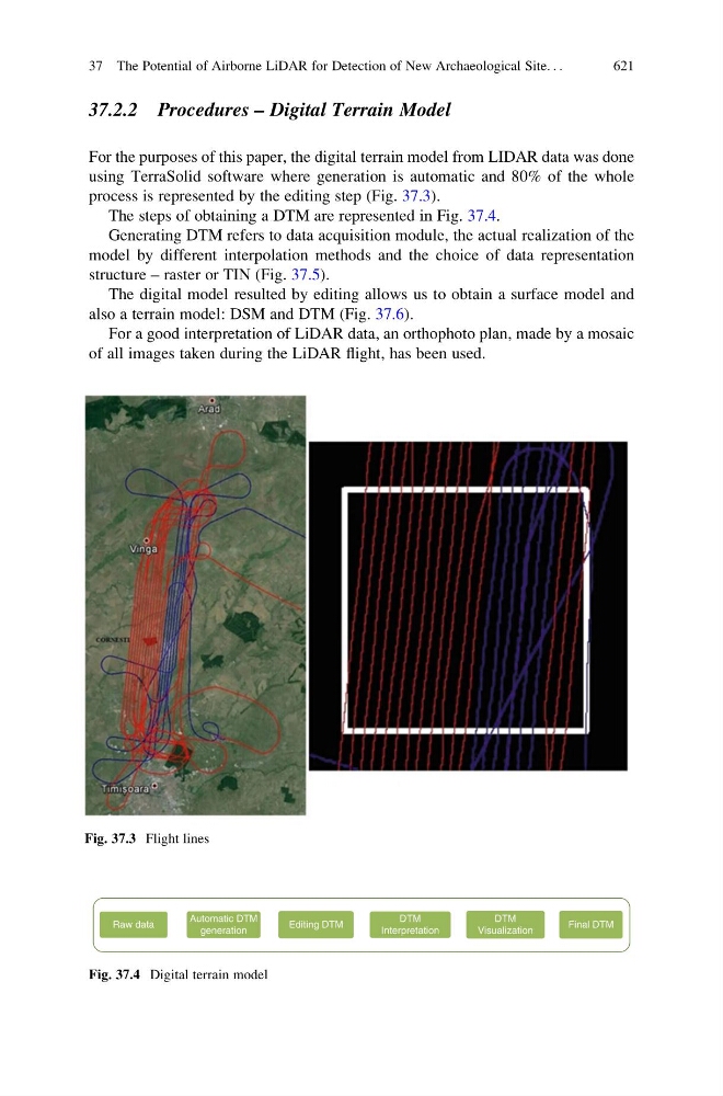
For the purposes of this paper, the digital terrain model from LIDAR data was done
using TerraSolid software where generation is automatic and 80% of the whole
process is represented by the editing step (Fig. 37.3).
The steps of obtaining a DTM are represented in Fig. 37.4.
Generating DTM refers to data acquisition module, the actual realization of the
model by different interpolation methods and the choice of data representation
structure – raster or TIN (Fig. 37.5).
The digital model resulted by editing allows us to obtain a surface model and
also a terrain model: DSM and DTM (Fig. 37.6).
For a good interpretation of LiDAR data, an orthophoto plan, made by a mosaic
of all images taken during the LiDAR flight, has been used.
Fig. 37.3 Flight lines
Raw data
Automatic DTM
generation
Editing DTM
DTM
Interpretation
DTM
Visualization
Final DTM
Fig. 37.4 Digital terrain model
37 The Potential of Airborne LiDAR for Detection of New Archaeological Site. . .
621