

37.2 Methods
37.2.1 Techniques
In order to achieve this paper and to obtain a high quality representation of land,
there were used data using an airborne laser scanning system (ALS), known most
commonly referred to as LiDAR. Besides the lidar data taken in the field, a set of
digital images was also needed, taken also in the area of interest during LiDAR data
collection.
The LiDAR flight was over the Cornes ¸ti village, Timiș County, on 27 June 2014,
the total number of flight lines being 26.
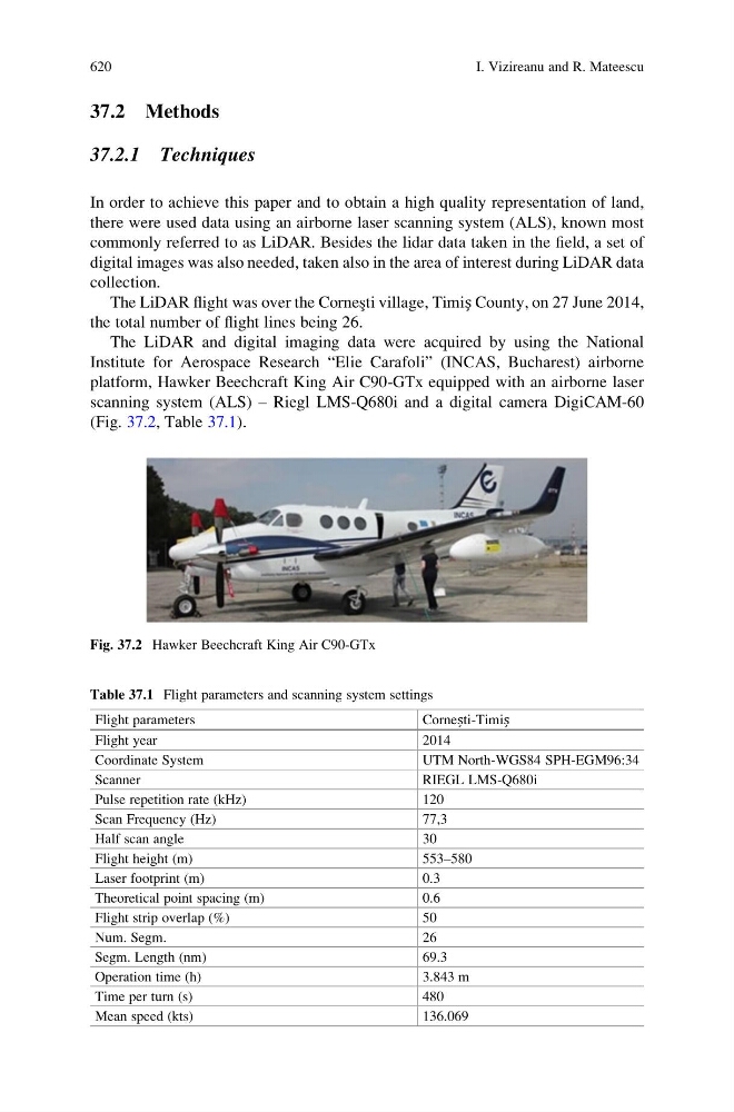
The LiDAR and digital imaging data were acquired by using the National
Institute for Aerospace Research “Elie Carafoli” (INCAS, Bucharest) airborne
platform, Hawker Beechcraft King Air C90-GTx equipped with an airborne laser
scanning system (ALS) – Riegl LMS-Q680i and a digital camera DigiCAM-60
(Fig. 37.2, Table 37.1).
Fig. 37.2 Hawker Beechcraft King Air C90-GTx
Table 37.1 Flight parameters and scanning system settings
Flight parameters
Cornești-Timiș
Flight year
2014
Coordinate System
UTM North-WGS84 SPH-EGM96:34
Scanner
RIEGL LMS-Q680i
Pulse repetition rate (kHz)
120
Scan Frequency (Hz)
77,3
Half scan angle
30
Flight height (m)
553–580
Laser footprint (m)
0.3
Theoretical point spacing (m)
0.6
Flight strip overlap (%)
50
Num. Segm.
26
Segm. Length (nm)
69.3
Operation time (h)
3.843 m
Time per turn (s)
480
Mean speed (kts)
136.069
620
I. Vizireanu and R. Mateescu