

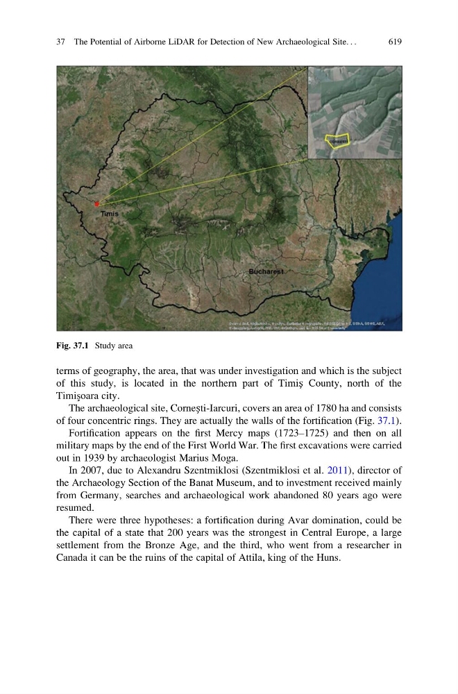
terms of geography, the area, that was under investigation and which is the subject
of this study, is located in the northern part of Timiș County, north of the
Timis ¸oara city.
The archaeological site, Cornești-Iarcuri, covers an area of 1780 ha and consists
of four concentric rings. They are actually the walls of the fortification (Fig. 37.1).
Fortification appears on the first Mercy maps (1723–1725) and then on all
military maps by the end of the First World War. The first excavations were carried
out in 1939 by archaeologist Marius Moga.
In 2007, due to Alexandru Szentmiklosi (Szentmiklosi et al. 2011), director of
the Archaeology Section of the Banat Museum, and to investment received mainly
from Germany, searches and archaeological work abandoned 80 years ago were
resumed.
There were three hypotheses: a fortification during Avar domination, could be
the capital of a state that 200 years was the strongest in Central Europe, a large
settlement from the Bronze Age, and the third, who went from a researcher in
Canada it can be the ruins of the capital of Attila, king of the Huns.
Fig. 37.1 Study area
37 The Potential of Airborne LiDAR for Detection of New Archaeological Site. . .
619