

96
5 Challenges: Sectoral Descriptions
Year
Draft [m]
1887 - 1895
5.00
1913 - 1916
7.00
1925 - 1928
8.00
1953 - 1959
8.70
1973 - 1977
11.00
Currently planned
12.80
(Bremerhaven to Brake)
11.10
(Brake to Bremen)
Fig. 5.24 List of fairway
deepening at the river Weser
starting in 1887. Source: Lucker
et al. (1995) and www.wsabremerhaven.wsv.de
Morphological Development
The morphological development mainly caused by human interferences is exemplified by
the Weser and the Schelde.
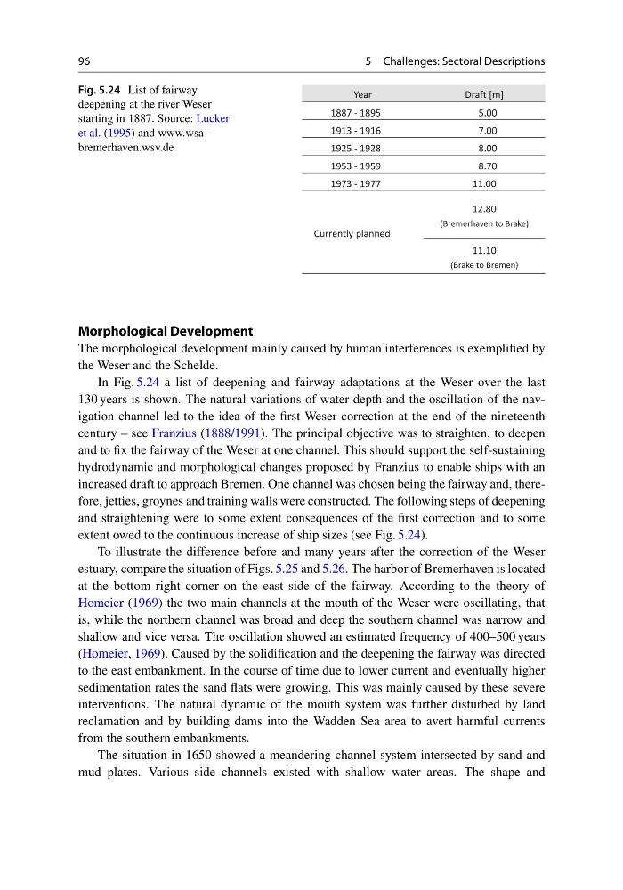
In Fig. 5.24 a list of deepening and fairway adaptations at the Weser over the last
130 years is shown. The natural variations of water depth and the oscillation of the navigation channel led to the idea of the first Weser correction at the end of the nineteenth
century – see Franzius (1888/1991). The principal objective was to straighten, to deepen
and to fix the fairway of the Weser at one channel. This should support the self-sustaining
hydrodynamic and morphological changes proposed by Franzius to enable ships with an
increased draft to approach Bremen. One channel was chosen being the fairway and, therefore, jetties, groynes and training walls were constructed. The following steps of deepening
and straightening were to some extent consequences of the first correction and to some
extent owed to the continuous increase of ship sizes (see Fig. 5.24).
To illustrate the difference before and many years after the correction of the Weser
estuary, compare the situation of Figs. 5.25 and 5.26. The harbor of Bremerhaven is located
at the bottom right corner on the east side of the fairway. According to the theory of
Homeier (1969) the two main channels at the mouth of the Weser were oscillating, that
is, while the northern channel was broad and deep the southern channel was narrow and
shallow and vice versa. The oscillation showed an estimated frequency of 400–500 years
(Homeier, 1969). Caused by the solidification and the deepening the fairway was directed
to the east embankment. In the course of time due to lower current and eventually higher
sedimentation rates the sand flats were growing. This was mainly caused by these severe
interventions. The natural dynamic of the mouth system was further disturbed by land
reclamation and by building dams into the Wadden Sea area to avert harmful currents
from the southern embankments.
The situation in 1650 showed a meandering channel system intersected by sand and
mud plates. Various side channels existed with shallow water areas. The shape and
5 Challenges: Sectoral Descriptions
Year
Draft [m]
1887 - 1895
5.00
1913 - 1916
7.00
1925 - 1928
8.00
1953 - 1959
8.70
1973 - 1977
11.00
Currently planned
12.80
(Bremerhaven to Brake)
11.10
(Brake to Bremen)
Fig. 5.24 List of fairway
deepening at the river Weser
starting in 1887. Source: Lucker
et al. (1995) and www.wsabremerhaven.wsv.de
Morphological Development
The morphological development mainly caused by human interferences is exemplified by
the Weser and the Schelde.
In Fig. 5.24 a list of deepening and fairway adaptations at the Weser over the last
130 years is shown. The natural variations of water depth and the oscillation of the navigation channel led to the idea of the first Weser correction at the end of the nineteenth
century – see Franzius (1888/1991). The principal objective was to straighten, to deepen
and to fix the fairway of the Weser at one channel. This should support the self-sustaining
hydrodynamic and morphological changes proposed by Franzius to enable ships with an
increased draft to approach Bremen. One channel was chosen being the fairway and, therefore, jetties, groynes and training walls were constructed. The following steps of deepening
and straightening were to some extent consequences of the first correction and to some
extent owed to the continuous increase of ship sizes (see Fig. 5.24).
To illustrate the difference before and many years after the correction of the Weser
estuary, compare the situation of Figs. 5.25 and 5.26. The harbor of Bremerhaven is located
at the bottom right corner on the east side of the fairway. According to the theory of
Homeier (1969) the two main channels at the mouth of the Weser were oscillating, that
is, while the northern channel was broad and deep the southern channel was narrow and
shallow and vice versa. The oscillation showed an estimated frequency of 400–500 years
(Homeier, 1969). Caused by the solidification and the deepening the fairway was directed
to the east embankment. In the course of time due to lower current and eventually higher
sedimentation rates the sand flats were growing. This was mainly caused by these severe
interventions. The natural dynamic of the mouth system was further disturbed by land
reclamation and by building dams into the Wadden Sea area to avert harmful currents
from the southern embankments.
The situation in 1650 showed a meandering channel system intersected by sand and
mud plates. Various side channels existed with shallow water areas. The shape and