

308
A.MJ. Meijerink
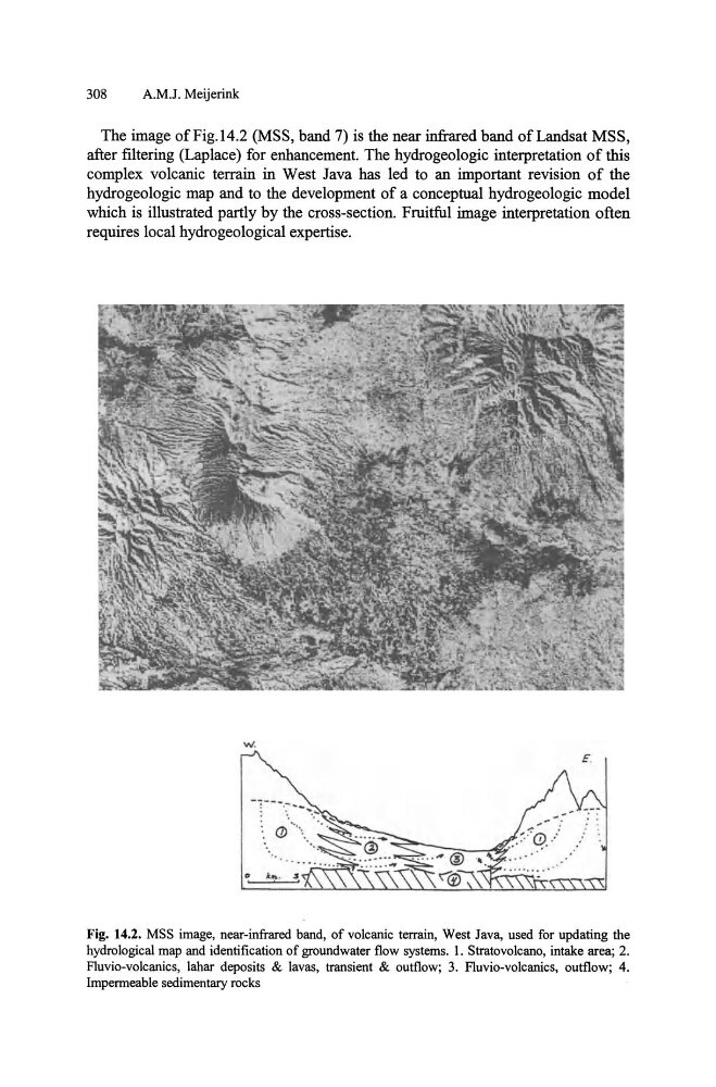
The image of Fig. 14.2 (MSS, band 7) is the near infrared band of Landsat MSS,
after ftltering (Laplace) for enhancement. The hydrogeologic interpretation of this
complex volcanic terrain in West Java has led to an important revision of the
hydrogeologic map and to the development of a conceptual hydrogeologic model
which is illustrated partly by the cross-section. Fruitful image interpretation often
requires local hydrogeological expertise.
E.
Fig. 14.2. MSS image, near-infrared band, of volcanic terrain, West Java, used for updating the
hydrological map and identification of groundwater flow systems. I. Stratovolcano, intake area; 2.
Fluvio-volcanics, lahar deposits & lavas, transient & outflow; 3. Fluvio-volcanics, outflow; 4.
Impermeable sedimentary rocks
A.MJ. Meijerink
The image of Fig. 14.2 (MSS, band 7) is the near infrared band of Landsat MSS,
after ftltering (Laplace) for enhancement. The hydrogeologic interpretation of this
complex volcanic terrain in West Java has led to an important revision of the
hydrogeologic map and to the development of a conceptual hydrogeologic model
which is illustrated partly by the cross-section. Fruitful image interpretation often
requires local hydrogeological expertise.
E.
Fig. 14.2. MSS image, near-infrared band, of volcanic terrain, West Java, used for updating the
hydrological map and identification of groundwater flow systems. I. Stratovolcano, intake area; 2.
Fluvio-volcanics, lahar deposits & lavas, transient & outflow; 3. Fluvio-volcanics, outflow; 4.
Impermeable sedimentary rocks