

Applications of Passive and Active Microwave Sensors ...
471
17.4 Subtropical Stratus Cloud Study
17.4.1 Background
Subtropical marine stratocumulus clouds have been the subject of many climate studies because
of their effect on the earth's radiative energy budget. Their high albedo reduces the flux of
solar energy into the ocean, while their low altitude prevents a significant compensation by
reduced thermal emission. Radiative properties of marine stratocumulus clouds are determined
primarily by their water content, microphysical properties, and spatial distribution. Satellite
data are a valuable tool for characterizing these cloud parameters. Several studies have used
visible and infrared data (e.g. Coakley and Baldwin, 1984; Rossow et al., 1989; Minnis et
al., 1992; Platnick and Twomey, 1994 and Bretherton and Pincus, 1994), but the addition of
passive microwave data, from which we can derive the liquid water path, contributes to a more
complete description of the observed cloud systems. Curry et al. (1990) and Liu and Curry
(1993) combined microwave and ancillary data to characterize the cloud liquid water content
of stratiform clouds, but the relatively low spatial resolution of the ancillary data precluded
a sub-pixel-scale analysis. Lin and Rossow (1994) compared optical and microwave retrieval
methods and examined the estimates on global and regional scales. In the study by Miletta and
Katsaros (1995), a technique was developed employing observations from several instruments
on the same satellite to examine the radiative properties of marine stratocumulus clouds. High
resolution visible and infrared data are provided by the Operational Line-scan System (OLS),
and passive microwave data: are provided by the Special Sensor Microwave/Imager (SSM/I).
The coincident visible and infrared data was used to characterize the cloud field within the
larger microwave footprint. The objective was to explore the relationships between the SSM/Iderived and the OLS-derived cloud parameters, providing information about the reliability of
the liquid water path estimates based on the Petty algorithms.
Identifying and eliminating sources of error in the liquid water path retrievals, rather than
addressing the absolute accuracy of the measurements, were the objectives of the Miletta and
Katsaros (1995) study. Sections 17.4.2 and 17.4.3 contain brief discussions of the retrieval
algorithm and our method for incorporating the visible and infrared data. Techniques to identify
the sources of error in the algorithm and a discussion of the application of these techniques on
a set of sample images is found in section 17.4.4.
17.4.2 The SSM/I liquid water path algorithm
The SSM-I is a seven-channel radiometer (see section 17.2.2), with vertically and horizontally
polarized channels at 19, 37 and 85 GHz, and a vertically polarized channel at 22 GHz. The 85
GHz channels are sampled every 12.5 km, and the lower frequency channels are sampled every
25 km. The footprints for each channel are centered on the same point, but they are not the
same size as spatial resolution increases with frequency. We use Petty's algorithms to retrieve
the liquid water path from the SSM-I brightness temperatures (Petty 1990; Petty 1994a and b).
Polarization information provides a measure of the attenuation of the highly polarized emitted
radiances from the open ocean by the intervening clouds. A parameter called the Normalized
Polarization Difference (P) is the observed polarization difference normalized by an estimate
of the polarization difference in the absence of clouds under otherwise similar meteorological
conditions. For the 85 GHz channels, P is given by
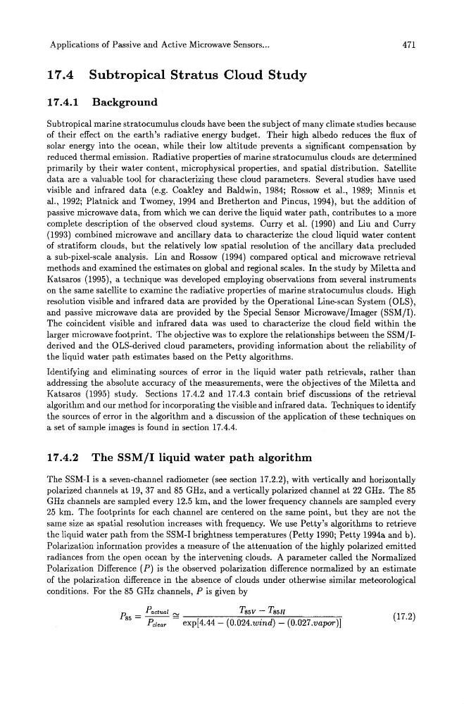
P 85 = Pactual ~
T 85V - T85H
Pc/ear
exp[4.44 - (0.024.wind) - (0.027.vapor)]
(17.2)
471
17.4 Subtropical Stratus Cloud Study
17.4.1 Background
Subtropical marine stratocumulus clouds have been the subject of many climate studies because
of their effect on the earth's radiative energy budget. Their high albedo reduces the flux of
solar energy into the ocean, while their low altitude prevents a significant compensation by
reduced thermal emission. Radiative properties of marine stratocumulus clouds are determined
primarily by their water content, microphysical properties, and spatial distribution. Satellite
data are a valuable tool for characterizing these cloud parameters. Several studies have used
visible and infrared data (e.g. Coakley and Baldwin, 1984; Rossow et al., 1989; Minnis et
al., 1992; Platnick and Twomey, 1994 and Bretherton and Pincus, 1994), but the addition of
passive microwave data, from which we can derive the liquid water path, contributes to a more
complete description of the observed cloud systems. Curry et al. (1990) and Liu and Curry
(1993) combined microwave and ancillary data to characterize the cloud liquid water content
of stratiform clouds, but the relatively low spatial resolution of the ancillary data precluded
a sub-pixel-scale analysis. Lin and Rossow (1994) compared optical and microwave retrieval
methods and examined the estimates on global and regional scales. In the study by Miletta and
Katsaros (1995), a technique was developed employing observations from several instruments
on the same satellite to examine the radiative properties of marine stratocumulus clouds. High
resolution visible and infrared data are provided by the Operational Line-scan System (OLS),
and passive microwave data: are provided by the Special Sensor Microwave/Imager (SSM/I).
The coincident visible and infrared data was used to characterize the cloud field within the
larger microwave footprint. The objective was to explore the relationships between the SSM/Iderived and the OLS-derived cloud parameters, providing information about the reliability of
the liquid water path estimates based on the Petty algorithms.
Identifying and eliminating sources of error in the liquid water path retrievals, rather than
addressing the absolute accuracy of the measurements, were the objectives of the Miletta and
Katsaros (1995) study. Sections 17.4.2 and 17.4.3 contain brief discussions of the retrieval
algorithm and our method for incorporating the visible and infrared data. Techniques to identify
the sources of error in the algorithm and a discussion of the application of these techniques on
a set of sample images is found in section 17.4.4.
17.4.2 The SSM/I liquid water path algorithm
The SSM-I is a seven-channel radiometer (see section 17.2.2), with vertically and horizontally
polarized channels at 19, 37 and 85 GHz, and a vertically polarized channel at 22 GHz. The 85
GHz channels are sampled every 12.5 km, and the lower frequency channels are sampled every
25 km. The footprints for each channel are centered on the same point, but they are not the
same size as spatial resolution increases with frequency. We use Petty's algorithms to retrieve
the liquid water path from the SSM-I brightness temperatures (Petty 1990; Petty 1994a and b).
Polarization information provides a measure of the attenuation of the highly polarized emitted
radiances from the open ocean by the intervening clouds. A parameter called the Normalized
Polarization Difference (P) is the observed polarization difference normalized by an estimate
of the polarization difference in the absence of clouds under otherwise similar meteorological
conditions. For the 85 GHz channels, P is given by
P 85 = Pactual ~
T 85V - T85H
Pc/ear
exp[4.44 - (0.024.wind) - (0.027.vapor)]
(17.2)