

384
E. Taira
Fig. 17.2 Relationship
between sugar content and
potassium content in cane
juice measured by NIRS in
Minami Daito Island, Japan
0
2 0 0 0
4 0 0 0
6
8
10
12
14
16
18
20
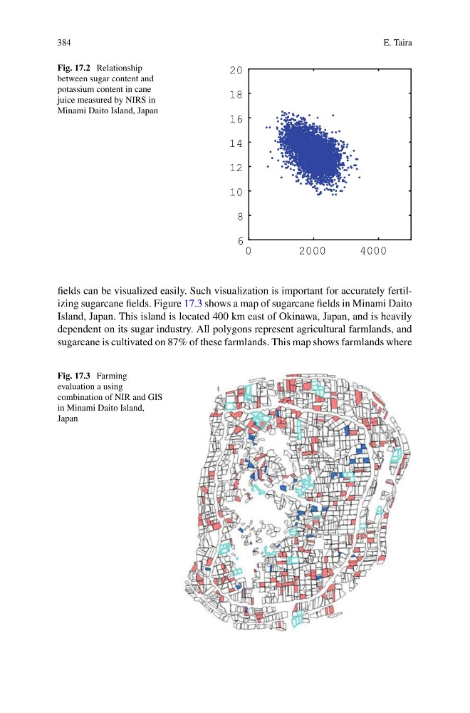
fields can be visualized easily. Such visualization is important for accurately fertilizing sugarcane fields. Figure 17.3 shows a map of sugarcane fields in Minami Daito
Island, Japan. This island is located 400 km east of Okinawa, Japan, and is heavily
dependent on its sugar industry. All polygons represent agricultural farmlands, and
sugarcane is cultivated on 87% of these farmlands. This map shows farmlands where
Fig. 17.3 Farming
evaluation a using
combination of NIR and GIS
in Minami Daito Island,
Japan
E. Taira
Fig. 17.2 Relationship
between sugar content and
potassium content in cane
juice measured by NIRS in
Minami Daito Island, Japan
0
2 0 0 0
4 0 0 0
6
8
10
12
14
16
18
20
fields can be visualized easily. Such visualization is important for accurately fertilizing sugarcane fields. Figure 17.3 shows a map of sugarcane fields in Minami Daito
Island, Japan. This island is located 400 km east of Okinawa, Japan, and is heavily
dependent on its sugar industry. All polygons represent agricultural farmlands, and
sugarcane is cultivated on 87% of these farmlands. This map shows farmlands where
Fig. 17.3 Farming
evaluation a using
combination of NIR and GIS
in Minami Daito Island,
Japan