

Identification of groundwater recharge potential zones using AHP …
137
over the satellite image of the study area to see if the generated river channels overlap
with the actual ones. The process of generating a drainage map starts with the creation
of ‘Fill’. After the DEM is extracted, it had to be ensured that it had no erroneous
depressions. So it is filled using GIS software tools. The depressionless DEM is
then used to calculate the probable flow direction in the region. Flow direction is
important while working with hydrological modeling, because in order to calculate
the drainage network in a watershed, it is essential to determine the direction of flow
in each cell of the area. This is done by calculating the relative slope between each
cell of the DEM.
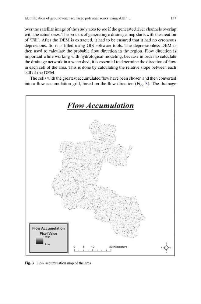
The cells with the greatest accumulated flow have been chosen and then converted
into a flow accumulation grid, based on the flow direction (Fig. 3). The drainage
Fig. 3 Flow accumulation map of the area
137
over the satellite image of the study area to see if the generated river channels overlap
with the actual ones. The process of generating a drainage map starts with the creation
of ‘Fill’. After the DEM is extracted, it had to be ensured that it had no erroneous
depressions. So it is filled using GIS software tools. The depressionless DEM is
then used to calculate the probable flow direction in the region. Flow direction is
important while working with hydrological modeling, because in order to calculate
the drainage network in a watershed, it is essential to determine the direction of flow
in each cell of the area. This is done by calculating the relative slope between each
cell of the DEM.
The cells with the greatest accumulated flow have been chosen and then converted
into a flow accumulation grid, based on the flow direction (Fig. 3). The drainage
Fig. 3 Flow accumulation map of the area