

136
S. Santra and S. Biswas
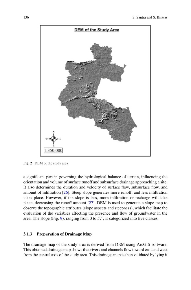
Fig. 2 DEM of the study area
a significant part in governing the hydrological balance of terrain, influencing the
orientation and volume of surface runoff and subsurface drainage approaching a site.
It also determines the duration and velocity of surface flow, subsurface flow, and
amount of infiltration [26]. Steep slope generates more runoff, and less infiltration
takes place. However, if the slope is less, more infiltration or recharge will take
place, decreasing the runoff amount [27]. DEM is used to generate a slope map to
observe the topographic attributes (slope aspects and steepness), which facilitate the
evaluation of the variables affecting the presence and flow of groundwater in the
area. The slope (Fig. 9), ranging from 0 to 57º, is categorized into five classes.
3.1.3 Preparation of Drainage Map
The drainage map of the study area is derived from DEM using ArcGIS software.
This obtained drainage map shows that rivers and channels flow toward east and west
from the central axis of the study area. This drainage map is then validated by lying it
S. Santra and S. Biswas
Fig. 2 DEM of the study area
a significant part in governing the hydrological balance of terrain, influencing the
orientation and volume of surface runoff and subsurface drainage approaching a site.
It also determines the duration and velocity of surface flow, subsurface flow, and
amount of infiltration [26]. Steep slope generates more runoff, and less infiltration
takes place. However, if the slope is less, more infiltration or recharge will take
place, decreasing the runoff amount [27]. DEM is used to generate a slope map to
observe the topographic attributes (slope aspects and steepness), which facilitate the
evaluation of the variables affecting the presence and flow of groundwater in the
area. The slope (Fig. 9), ranging from 0 to 57º, is categorized into five classes.
3.1.3 Preparation of Drainage Map
The drainage map of the study area is derived from DEM using ArcGIS software.
This obtained drainage map shows that rivers and channels flow toward east and west
from the central axis of the study area. This drainage map is then validated by lying it