

Identification of groundwater recharge potential zones using AHP …
135
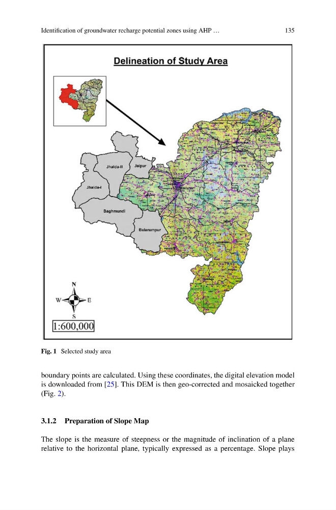
Fig. 1 Selected study area
boundary points are calculated. Using these coordinates, the digital elevation model
is downloaded from [25]. This DEM is then geo-corrected and mosaicked together
(Fig. 2).
3.1.2 Preparation of Slope Map
The slope is the measure of steepness or the magnitude of inclination of a plane
relative to the horizontal plane, typically expressed as a percentage. Slope plays
135
Fig. 1 Selected study area
boundary points are calculated. Using these coordinates, the digital elevation model
is downloaded from [25]. This DEM is then geo-corrected and mosaicked together
(Fig. 2).
3.1.2 Preparation of Slope Map
The slope is the measure of steepness or the magnitude of inclination of a plane
relative to the horizontal plane, typically expressed as a percentage. Slope plays