

Due to the influence of the wake of the aircraft, considering the safe distance
between the aircraft and the flight in the same direction, the detection time of the
aircraft is defined as:
T ¼ nDt ¼ n
d
V
ð2Þ
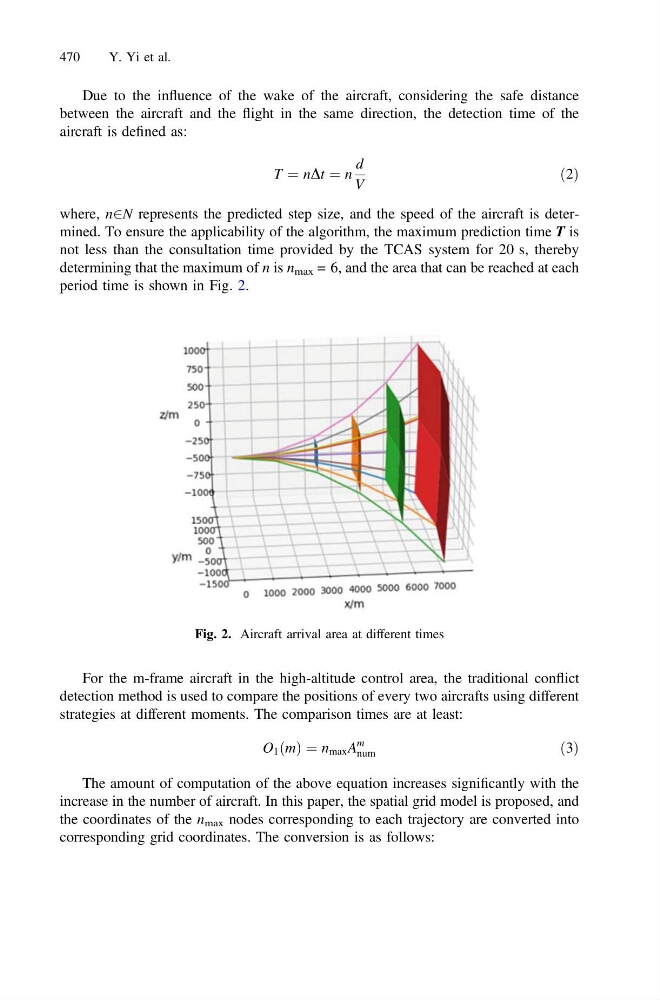
where, n2N represents the predicted step size, and the speed of the aircraft is determined. To ensure the applicability of the algorithm, the maximum prediction time T is
not less than the consultation time provided by the TCAS system for 20 s, thereby
determining that the maximum of n is n max = 6, and the area that can be reached at each
period time is shown in Fig. 2.
For the m-frame aircraft in the high-altitude control area, the traditional conflict
detection method is used to compare the positions of every two aircrafts using different
strategies at different moments. The comparison times are at least:
O 1 ðmÞ ¼ n max A
m
num
ð3Þ
The amount of computation of the above equation increases significantly with the
increase in the number of aircraft. In this paper, the spatial grid model is proposed, and
the coordinates of the n max nodes corresponding to each trajectory are converted into
corresponding grid coordinates. The conversion is as follows:
Fig. 2. Aircraft arrival area at different times
470
Y. Yi et al.