

20.4.2.2 Collection of Hydrological Data
Three main hydrological data collected for this study include surface water level,
groundwater level (GWL), and daily rainfall. Those data were collected and compiled simultaneously through field data measurements implemented in both Jajangkit
and Ulin canals from 24th of September 2018 to 20th of December 2018.
The groundwater level was measured three times a week, every Monday morning
(9:00 am), Wednesday afternoon (3:00 pm), and Friday morning (9:00 am). The
groundwater level was measured through monitoring well using measurement tape
with a water sensor installed at the bottom of the measurement tape. Meanwhile,
surface water level was recorded based on the water level meter established in the
canal. Finally, the precipitation data were collected using a simple rain gauge fixed in
the location and was measured manually every day in the morning (7:00 am).
20.4.2.3 Soil Characteristics and Microtopography
The main purpose of identifying peat characteristics was to determine the decomposition and degradation rates. Peat with high decomposition and degradation rates
indicates that the peat soil is denser and that this condition will reduce the ability of
water infiltration (Rezanezhad et al. 2016).
One of the parameters that can be used to reveal the degradation and the density of
peat soil is bulk density. Generally, peat bulk density ranges from 0.02 to 0.3 g/cm
3
(Agus et al. 2011); however, degraded peatland generally shows higher bulk density
(Frank et al. 2014). Soil sampling and analysis were conducted in December 2018 by
taking 32 soil samples nearby (40 m from canal) and the furthest distance from the
canal (400 m from the canal) at the monitoring wells both in Jajangkit and Ulin canals.
Further, in a flat area with a negligible elevation gradient, the surface roughness
can be represented by microtopography. Microtopography plays an important role in
controlling water storage at the surface level and affects the flow pattern through the
fill and spill processes (Van der Ploeg et al. 2012). Microtopography of the study site
was measured using theodolite in each measurement line starting from the edge of
the canal up to the furthest monitoring well.
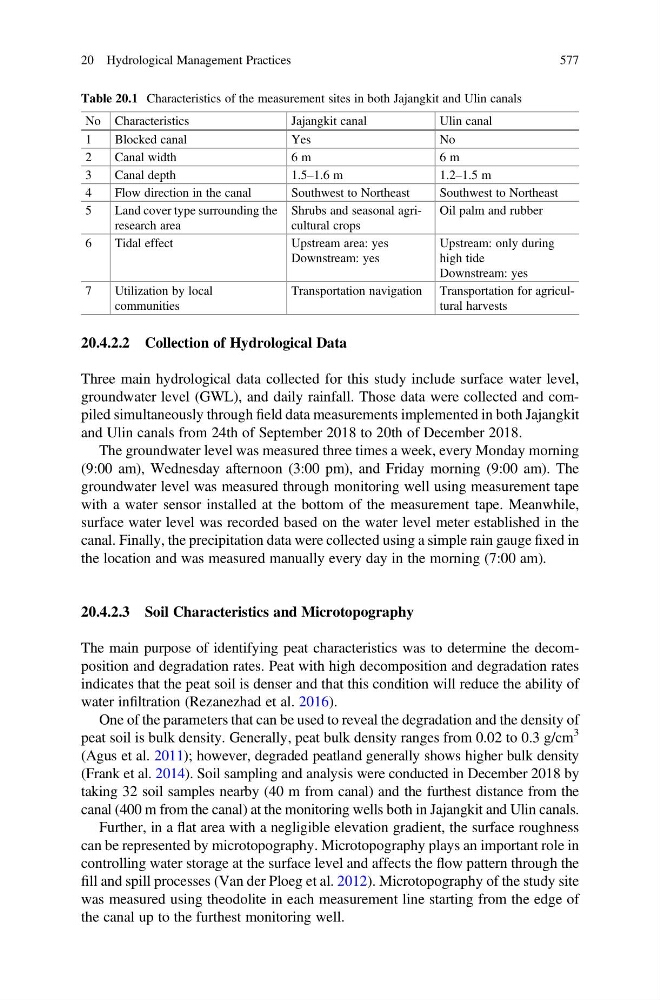
Table 20.1 Characteristics of the measurement sites in both Jajangkit and Ulin canals
No Characteristics
Jajangkit canal
Ulin canal
1
Blocked canal
Yes
No
2
Canal width
6 m
6 m
3
Canal depth
1.5–1.6 m
1.2–1.5 m
4
Flow direction in the canal
Southwest to Northeast
Southwest to Northeast
5
Land cover type surrounding the
research area
Shrubs and seasonal agricultural crops
Oil palm and rubber
6
Tidal effect
Upstream area: yes
Downstream: yes
Upstream: only during
high tide
Downstream: yes
7
Utilization by local
communities
Transportation navigation Transportation for agricultural harvests
20 Hydrological Management Practices
577
Three main hydrological data collected for this study include surface water level,
groundwater level (GWL), and daily rainfall. Those data were collected and compiled simultaneously through field data measurements implemented in both Jajangkit
and Ulin canals from 24th of September 2018 to 20th of December 2018.
The groundwater level was measured three times a week, every Monday morning
(9:00 am), Wednesday afternoon (3:00 pm), and Friday morning (9:00 am). The
groundwater level was measured through monitoring well using measurement tape
with a water sensor installed at the bottom of the measurement tape. Meanwhile,
surface water level was recorded based on the water level meter established in the
canal. Finally, the precipitation data were collected using a simple rain gauge fixed in
the location and was measured manually every day in the morning (7:00 am).
20.4.2.3 Soil Characteristics and Microtopography
The main purpose of identifying peat characteristics was to determine the decomposition and degradation rates. Peat with high decomposition and degradation rates
indicates that the peat soil is denser and that this condition will reduce the ability of
water infiltration (Rezanezhad et al. 2016).
One of the parameters that can be used to reveal the degradation and the density of
peat soil is bulk density. Generally, peat bulk density ranges from 0.02 to 0.3 g/cm
3
(Agus et al. 2011); however, degraded peatland generally shows higher bulk density
(Frank et al. 2014). Soil sampling and analysis were conducted in December 2018 by
taking 32 soil samples nearby (40 m from canal) and the furthest distance from the
canal (400 m from the canal) at the monitoring wells both in Jajangkit and Ulin canals.
Further, in a flat area with a negligible elevation gradient, the surface roughness
can be represented by microtopography. Microtopography plays an important role in
controlling water storage at the surface level and affects the flow pattern through the
fill and spill processes (Van der Ploeg et al. 2012). Microtopography of the study site
was measured using theodolite in each measurement line starting from the edge of
the canal up to the furthest monitoring well.
Table 20.1 Characteristics of the measurement sites in both Jajangkit and Ulin canals
No Characteristics
Jajangkit canal
Ulin canal
1
Blocked canal
Yes
No
2
Canal width
6 m
6 m
3
Canal depth
1.5–1.6 m
1.2–1.5 m
4
Flow direction in the canal
Southwest to Northeast
Southwest to Northeast
5
Land cover type surrounding the
research area
Shrubs and seasonal agricultural crops
Oil palm and rubber
6
Tidal effect
Upstream area: yes
Downstream: yes
Upstream: only during
high tide
Downstream: yes
7
Utilization by local
communities
Transportation navigation Transportation for agricultural harvests
20 Hydrological Management Practices
577