

Discovery of the Oldest Construction Phases of the Convent …
93
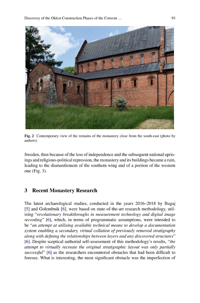
Fig. 2 Contemporary view of the remains of the monastery close from the south-east (photo by
authors)
Sweden, then because of the loss of independence and the subsequent national uprisings and religious-political repression, the monastery and its buildings became a ruin,
leading to the dismantlement of the southern wing and of a portion of the western
one (Fig. 3).
3 Recent Monastery Research
The latest archaeological studies, conducted in the years 2016–2018 by Bugaj
[5] and Gołembnik [6], were based on state-of-the-art research methodology, utilising “revolutionary breakthroughs in measurement technology and digital image
recording” [6], which, in terms of programmatic assumptions, were intended to
be “an attempt at utilising available technical means to develop a documentation
system enabling a secondary, virtual collation of previously removed stratigraphy
along with defining the relationships between layers and any discovered structures”
[6]. Despite sceptical authorial self-assessment of this methodology’s results, “the
attempt to virtually recreate the original stratigraphic layout was only partially
successful” [6] as the researchers encountered obstacles that had been difficult to
foresee. What is interesting, the most significant obstacle was the imperfection of
93
Fig. 2 Contemporary view of the remains of the monastery close from the south-east (photo by
authors)
Sweden, then because of the loss of independence and the subsequent national uprisings and religious-political repression, the monastery and its buildings became a ruin,
leading to the dismantlement of the southern wing and of a portion of the western
one (Fig. 3).
3 Recent Monastery Research
The latest archaeological studies, conducted in the years 2016–2018 by Bugaj
[5] and Gołembnik [6], were based on state-of-the-art research methodology, utilising “revolutionary breakthroughs in measurement technology and digital image
recording” [6], which, in terms of programmatic assumptions, were intended to
be “an attempt at utilising available technical means to develop a documentation
system enabling a secondary, virtual collation of previously removed stratigraphy
along with defining the relationships between layers and any discovered structures”
[6]. Despite sceptical authorial self-assessment of this methodology’s results, “the
attempt to virtually recreate the original stratigraphic layout was only partially
successful” [6] as the researchers encountered obstacles that had been difficult to
foresee. What is interesting, the most significant obstacle was the imperfection of