

297
concentrated here, and the average altitude varies between 100 and 120 m. The
topographic appearance shows elevated ground surface, sometimes broken into
irregular ridges. Reddish brown gravel and lateritic rocks predominantly cover
the area.
17.5.2 Sandy Area-Riverine
They are located in an elongated tract along the northern bank of River Ajay in
Kendgore GP due to deposition of sediments by the spillover of water. Considerable
amounts of sandy areas are found at Panchra GP on the south bank of Hinglow
River also.
17.5.3 Stony Waste/Barren Rocky
Few small patches are found as opening in amidst of protected and notified forest
areas frequently occurred as isolated rock exposures at Chotanagpur Plateau
fringe areas.
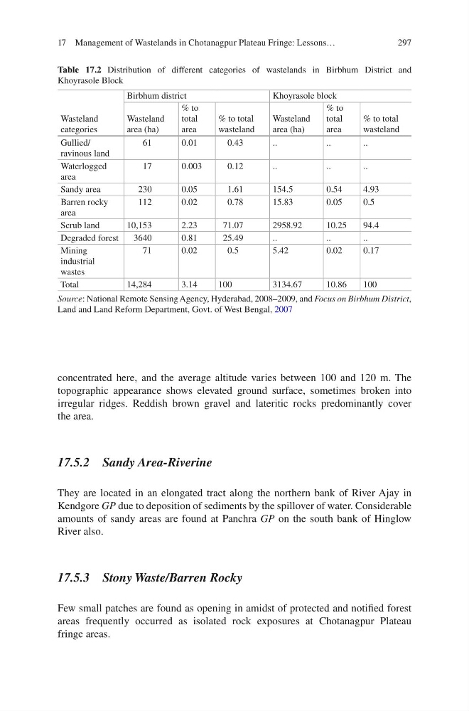
Table 17.2 Distribution of different categories of wastelands in Birbhum District and
Khoyrasole Block
Wasteland
categories
Birbhum district
Khoyrasole block
Wasteland
area (ha)
% to
total
area
% to total
wasteland
Wasteland
area (ha)
% to
total
area
% to total
wasteland
Gullied/
ravinous land
61
0.01
0.43
..
..
..
Waterlogged
area
17
0.003
0.12
..
..
..
Sandy area
230
0.05
1.61
154.5
0.54
4.93
Barren rocky
area
112
0.02
0.78
15.83
0.05
0.5
Scrub land
10,153
2.23
71.07
2958.92
10.25
94.4
Degraded forest
3640
0.81
25.49
..
..
..
Mining
industrial
wastes
71
0.02
0.5
5.42
0.02
0.17
Total
14,284
3.14
100
3134.67
10.86
100
Source: National Remote Sensing Agency, Hyderabad, 2008–2009, and Focus on Birbhum District,
Land and Land Reform Department, Govt. of West Bengal, 2007
17 Management of Wastelands in Chotanagpur Plateau Fringe: Lessons…
concentrated here, and the average altitude varies between 100 and 120 m. The
topographic appearance shows elevated ground surface, sometimes broken into
irregular ridges. Reddish brown gravel and lateritic rocks predominantly cover
the area.
17.5.2 Sandy Area-Riverine
They are located in an elongated tract along the northern bank of River Ajay in
Kendgore GP due to deposition of sediments by the spillover of water. Considerable
amounts of sandy areas are found at Panchra GP on the south bank of Hinglow
River also.
17.5.3 Stony Waste/Barren Rocky
Few small patches are found as opening in amidst of protected and notified forest
areas frequently occurred as isolated rock exposures at Chotanagpur Plateau
fringe areas.
Table 17.2 Distribution of different categories of wastelands in Birbhum District and
Khoyrasole Block
Wasteland
categories
Birbhum district
Khoyrasole block
Wasteland
area (ha)
% to
total
area
% to total
wasteland
Wasteland
area (ha)
% to
total
area
% to total
wasteland
Gullied/
ravinous land
61
0.01
0.43
..
..
..
Waterlogged
area
17
0.003
0.12
..
..
..
Sandy area
230
0.05
1.61
154.5
0.54
4.93
Barren rocky
area
112
0.02
0.78
15.83
0.05
0.5
Scrub land
10,153
2.23
71.07
2958.92
10.25
94.4
Degraded forest
3640
0.81
25.49
..
..
..
Mining
industrial
wastes
71
0.02
0.5
5.42
0.02
0.17
Total
14,284
3.14
100
3134.67
10.86
100
Source: National Remote Sensing Agency, Hyderabad, 2008–2009, and Focus on Birbhum District,
Land and Land Reform Department, Govt. of West Bengal, 2007
17 Management of Wastelands in Chotanagpur Plateau Fringe: Lessons…