

191
infrastructure? And think about this – what if the land area of the state were to
shrink over the next century?
Looking at Florida from space we can see that people are, not surprisingly, settling in the very areas that tourists like to visit– the coasts (Fig. 12.1) and the region
around Orlando, about 90 miles (145 km) north of the area in Fig. 12.1. We can
divide the state into two areas – the densely populated coastline and Orlando region
in contrast to the sparsely populated central agricultural and southwestern wilderness areas. If your image of Florida fits that of many tourists and even residents of
Florida, you might be asking – what wilderness? Almost the entire southwestern
region of Florida consists of state and federally protected lands (Fig. 12.1), including Everglades National Park, which covers 2410 square miles (6242 km
2
) and is
the largest sub-tropical wilderness in the United States and the largest designated
wilderness area in the eastern U.S. This vast wilderness has been designated a World
Heritage Site, a Wetland of International Importance, and an International Biosphere
Reserve.
Out in the Everglades it is very easy to forget that Miami is just a few hours away
or that you are in the third most populated state in the country. To me it is a place of
beauty, filled with sights, sounds, and smells I’ve experienced nowhere else in my
travels. There are many superlatives that can be used to describe the Everglades, but
Marjory Stoneman Douglas put it best in her 1947 book The Everglades: River of
Grass: “There are no other Everglades in the world. They have always been one of
the unique regions of the earth, remote, never wholly known.” Among the many
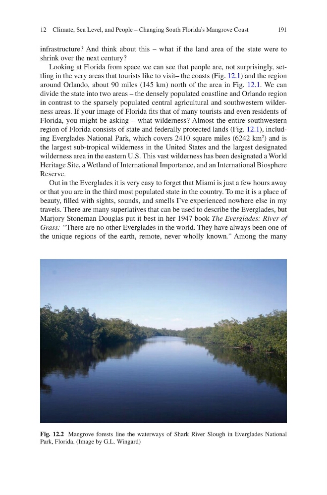
Fig. 12.2 Mangrove forests line the waterways of Shark River Slough in Everglades National
Park, Florida. (Image by G.L. Wingard)
12 Climate, Sea Level, and People – Changing South Florida’s Mangrove Coast
infrastructure? And think about this – what if the land area of the state were to
shrink over the next century?
Looking at Florida from space we can see that people are, not surprisingly, settling in the very areas that tourists like to visit– the coasts (Fig. 12.1) and the region
around Orlando, about 90 miles (145 km) north of the area in Fig. 12.1. We can
divide the state into two areas – the densely populated coastline and Orlando region
in contrast to the sparsely populated central agricultural and southwestern wilderness areas. If your image of Florida fits that of many tourists and even residents of
Florida, you might be asking – what wilderness? Almost the entire southwestern
region of Florida consists of state and federally protected lands (Fig. 12.1), including Everglades National Park, which covers 2410 square miles (6242 km
2
) and is
the largest sub-tropical wilderness in the United States and the largest designated
wilderness area in the eastern U.S. This vast wilderness has been designated a World
Heritage Site, a Wetland of International Importance, and an International Biosphere
Reserve.
Out in the Everglades it is very easy to forget that Miami is just a few hours away
or that you are in the third most populated state in the country. To me it is a place of
beauty, filled with sights, sounds, and smells I’ve experienced nowhere else in my
travels. There are many superlatives that can be used to describe the Everglades, but
Marjory Stoneman Douglas put it best in her 1947 book The Everglades: River of
Grass: “There are no other Everglades in the world. They have always been one of
the unique regions of the earth, remote, never wholly known.” Among the many
Fig. 12.2 Mangrove forests line the waterways of Shark River Slough in Everglades National
Park, Florida. (Image by G.L. Wingard)
12 Climate, Sea Level, and People – Changing South Florida’s Mangrove Coast