

hypolimnetic anoxia occurred in order to estimate the amount of phosphorus
released to the overlying water during each season. Similar long-term laboratory
column studies were conducted to support those results. The US Geological Survey
(USGS) also studied lake level and water budgets to model the impact of removal of
water from the hypolimnion [28]. Although a temperature-depth profile of the lake
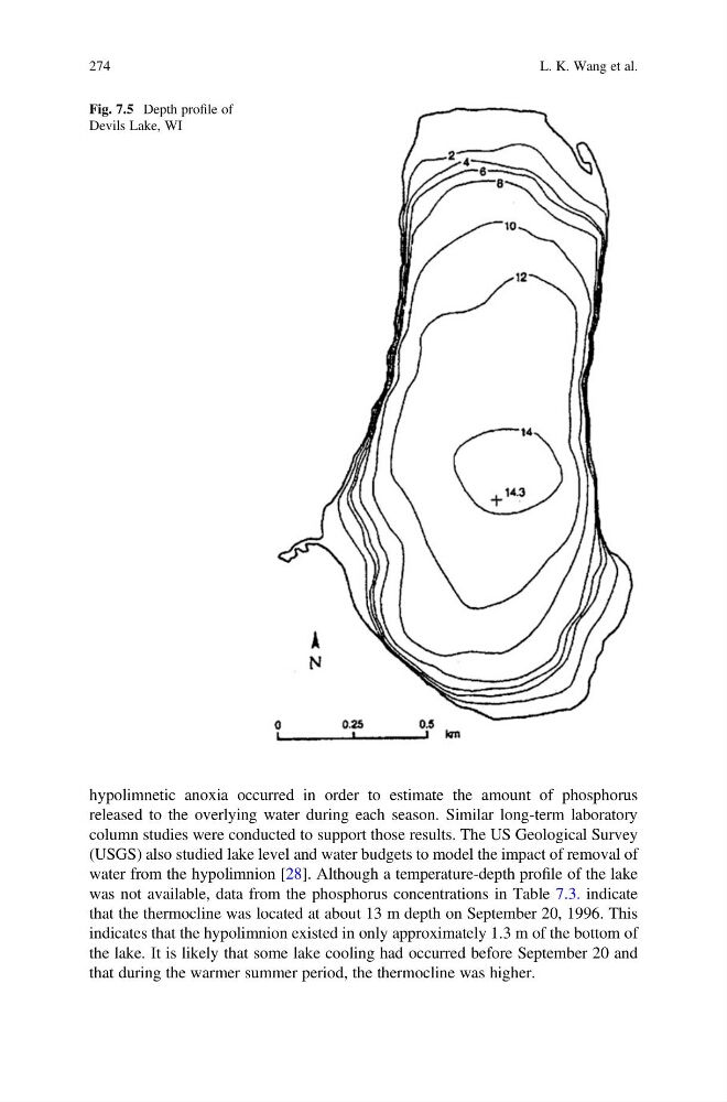
was not available, data from the phosphorus concentrations in Table 7.3. indicate
that the thermocline was located at about 13 m depth on September 20, 1996. This
indicates that the hypolimnion existed in only approximately 1.3 m of the bottom of
the lake. It is likely that some lake cooling had occurred before September 20 and
that during the warmer summer period, the thermocline was higher.
Fig. 7.5 Depth profile of
Devils Lake, WI
274
L. K. Wang et al.
released to the overlying water during each season. Similar long-term laboratory
column studies were conducted to support those results. The US Geological Survey
(USGS) also studied lake level and water budgets to model the impact of removal of
water from the hypolimnion [28]. Although a temperature-depth profile of the lake
was not available, data from the phosphorus concentrations in Table 7.3. indicate
that the thermocline was located at about 13 m depth on September 20, 1996. This
indicates that the hypolimnion existed in only approximately 1.3 m of the bottom of
the lake. It is likely that some lake cooling had occurred before September 20 and
that during the warmer summer period, the thermocline was higher.
Fig. 7.5 Depth profile of
Devils Lake, WI
274
L. K. Wang et al.