

has an average time delay of 3 h and 25 min, and the low tide has an average time
delay of 5 h and 25 min, with the annual average highest water level being 7 m and
the annual average lowest water level being 1.81 m. The Yangtze River in the
section has a yearly peak discharge rate of 92,600 m
3 /s and a yearly low water
discharge rate of 4670 m
3 /s, with the highest average flow velocity during the high
water period being 2.0 m/s, the lowest average flow velocity during the low water
period being 0.5 m/s, and the average flow velocity being 1.0 m/s.
The Tuanjie River and the Ancient Canal are in Grand Canal water system,
which has a flood level of 6.9 m and a normal water level of 4.5 m. Rainstorm will
stand in local areas but will not become floods due to the lack of river network
water system. The Haixi River and the Beishan River are mainly recharged by the
rainwater and the flow backward during the high water period of the Yangtze River,
chiefly used for irrigation, flood discharge and pollutants discharge. All the rivers in
the area eventually run their way to the Yangtze River, with the main water systems
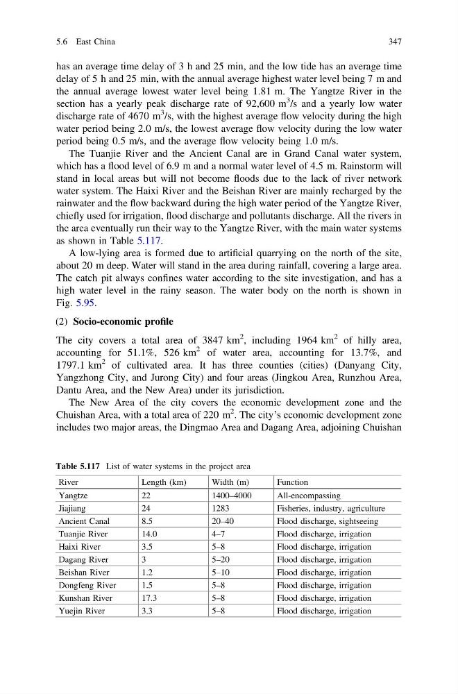
as shown in Table 5.117.
A low-lying area is formed due to artificial quarrying on the north of the site,
about 20 m deep. Water will stand in the area during rainfall, covering a large area.
The catch pit always confines water according to the site investigation, and has a
high water level in the rainy season. The water body on the north is shown in
Fig. 5.95.
(2) Socio-economic profile
The city covers a total area of 3847 km
2 , including 1964 km
2 of hilly area,
accounting for 51.1%, 526 km
2 of water area, accounting for 13.7%, and
1797.1 km
2 of cultivated area. It has three counties (cities) (Danyang City,
Yangzhong City, and Jurong City) and four areas (Jingkou Area, Runzhou Area,
Dantu Area, and the New Area) under its jurisdiction.
The New Area of the city covers the economic development zone and the
Chuishan Area, with a total area of 220 m
2 . The city’s economic development zone
includes two major areas, the Dingmao Area and Dagang Area, adjoining Chuishan
Table 5.117 List of water systems in the project area
River
Length (km)
Width (m)
Function
Yangtze
22
1400–4000
All-encompassing
Jiajiang
24
1283
Fisheries, industry, agriculture
Ancient Canal
8.5
20–40
Flood discharge, sightseeing
Tuanjie River
14.0
4–7
Flood discharge, irrigation
Haixi River
3.5
5–8
Flood discharge, irrigation
Dagang River
3
5–20
Flood discharge, irrigation
Beishan River
1.2
5–10
Flood discharge, irrigation
Dongfeng River
1.5
5–8
Flood discharge, irrigation
Kunshan River
17.3
5–8
Flood discharge, irrigation
Yuejin River
3.3
5–8
Flood discharge, irrigation
5.6 East China
347
delay of 5 h and 25 min, with the annual average highest water level being 7 m and
the annual average lowest water level being 1.81 m. The Yangtze River in the
section has a yearly peak discharge rate of 92,600 m
3 /s and a yearly low water
discharge rate of 4670 m
3 /s, with the highest average flow velocity during the high
water period being 2.0 m/s, the lowest average flow velocity during the low water
period being 0.5 m/s, and the average flow velocity being 1.0 m/s.
The Tuanjie River and the Ancient Canal are in Grand Canal water system,
which has a flood level of 6.9 m and a normal water level of 4.5 m. Rainstorm will
stand in local areas but will not become floods due to the lack of river network
water system. The Haixi River and the Beishan River are mainly recharged by the
rainwater and the flow backward during the high water period of the Yangtze River,
chiefly used for irrigation, flood discharge and pollutants discharge. All the rivers in
the area eventually run their way to the Yangtze River, with the main water systems
as shown in Table 5.117.
A low-lying area is formed due to artificial quarrying on the north of the site,
about 20 m deep. Water will stand in the area during rainfall, covering a large area.
The catch pit always confines water according to the site investigation, and has a
high water level in the rainy season. The water body on the north is shown in
Fig. 5.95.
(2) Socio-economic profile
The city covers a total area of 3847 km
2 , including 1964 km
2 of hilly area,
accounting for 51.1%, 526 km
2 of water area, accounting for 13.7%, and
1797.1 km
2 of cultivated area. It has three counties (cities) (Danyang City,
Yangzhong City, and Jurong City) and four areas (Jingkou Area, Runzhou Area,
Dantu Area, and the New Area) under its jurisdiction.
The New Area of the city covers the economic development zone and the
Chuishan Area, with a total area of 220 m
2 . The city’s economic development zone
includes two major areas, the Dingmao Area and Dagang Area, adjoining Chuishan
Table 5.117 List of water systems in the project area
River
Length (km)
Width (m)
Function
Yangtze
22
1400–4000
All-encompassing
Jiajiang
24
1283
Fisheries, industry, agriculture
Ancient Canal
8.5
20–40
Flood discharge, sightseeing
Tuanjie River
14.0
4–7
Flood discharge, irrigation
Haixi River
3.5
5–8
Flood discharge, irrigation
Dagang River
3
5–20
Flood discharge, irrigation
Beishan River
1.2
5–10
Flood discharge, irrigation
Dongfeng River
1.5
5–8
Flood discharge, irrigation
Kunshan River
17.3
5–8
Flood discharge, irrigation
Yuejin River
3.3
5–8
Flood discharge, irrigation
5.6 East China
347