

260
C. Trifanov et al.
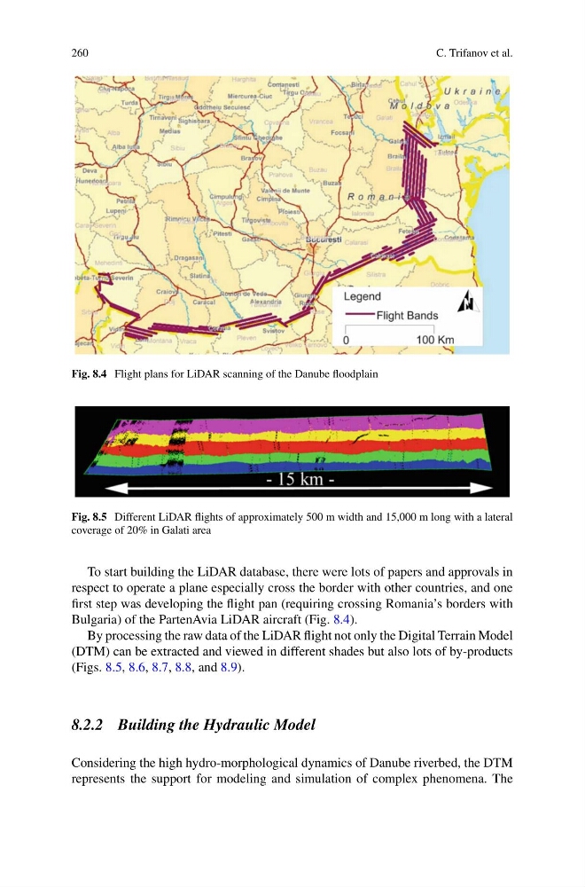
Fig. 8.4 Flight plans for LiDAR scanning of the Danube floodplain
Fig. 8.5 Different LiDAR flights of approximately 500 m width and 15,000 m long with a lateral
coverage of 20% in Galati area
To start building the LiDAR database, there were lots of papers and approvals in
respect to operate a plane especially cross the border with other countries, and one
first step was developing the flight pan (requiring crossing Romania’s borders with
Bulgaria) of the PartenAvia LiDAR aircraft (Fig. 8.4).
By processing the raw data of the LiDAR flight not only the Digital Terrain Model
(DTM) can be extracted and viewed in different shades but also lots of by-products
(Figs. 8.5, 8.6, 8.7, 8.8, and 8.9).
8.2.2 Building the Hydraulic Model
Considering the high hydro-morphological dynamics of Danube riverbed, the DTM
represents the support for modeling and simulation of complex phenomena. The
C. Trifanov et al.
Fig. 8.4 Flight plans for LiDAR scanning of the Danube floodplain
Fig. 8.5 Different LiDAR flights of approximately 500 m width and 15,000 m long with a lateral
coverage of 20% in Galati area
To start building the LiDAR database, there were lots of papers and approvals in
respect to operate a plane especially cross the border with other countries, and one
first step was developing the flight pan (requiring crossing Romania’s borders with
Bulgaria) of the PartenAvia LiDAR aircraft (Fig. 8.4).
By processing the raw data of the LiDAR flight not only the Digital Terrain Model
(DTM) can be extracted and viewed in different shades but also lots of by-products
(Figs. 8.5, 8.6, 8.7, 8.8, and 8.9).
8.2.2 Building the Hydraulic Model
Considering the high hydro-morphological dynamics of Danube riverbed, the DTM
represents the support for modeling and simulation of complex phenomena. The