

8 Romanian Danube River Floodplain …
261
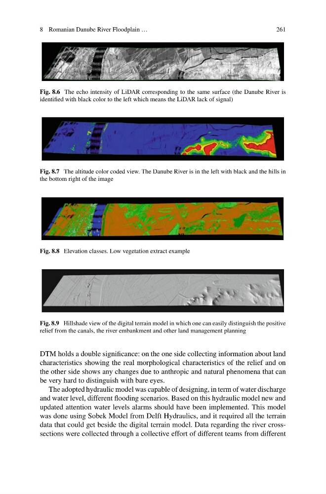
Fig. 8.6 The echo intensity of LiDAR corresponding to the same surface (the Danube River is
identified with black color to the left which means the LiDAR lack of signal)
Fig. 8.7 The altitude color coded view. The Danube River is in the left with black and the hills in
the bottom right of the image
Fig. 8.8 Elevation classes. Low vegetation extract example
Fig. 8.9 Hillshade view of the digital terrain model in which one can easily distinguish the positive
relief from the canals, the river embankment and other land management planning
DTM holds a double significance: on the one side collecting information about land
characteristics showing the real morphological characteristics of the relief and on
the other side shows any changes due to anthropic and natural phenomena that can
be very hard to distinguish with bare eyes.
The adopted hydraulic model was capable of designing, in term of water discharge
and water level, different flooding scenarios. Based on this hydraulic model new and
updated attention water levels alarms should have been implemented. This model
was done using Sobek Model from Delft Hydraulics, and it required all the terrain
data that could get beside the digital terrain model. Data regarding the river crosssections were collected through a collective effort of different teams from different
261
Fig. 8.6 The echo intensity of LiDAR corresponding to the same surface (the Danube River is
identified with black color to the left which means the LiDAR lack of signal)
Fig. 8.7 The altitude color coded view. The Danube River is in the left with black and the hills in
the bottom right of the image
Fig. 8.8 Elevation classes. Low vegetation extract example
Fig. 8.9 Hillshade view of the digital terrain model in which one can easily distinguish the positive
relief from the canals, the river embankment and other land management planning
DTM holds a double significance: on the one side collecting information about land
characteristics showing the real morphological characteristics of the relief and on
the other side shows any changes due to anthropic and natural phenomena that can
be very hard to distinguish with bare eyes.
The adopted hydraulic model was capable of designing, in term of water discharge
and water level, different flooding scenarios. Based on this hydraulic model new and
updated attention water levels alarms should have been implemented. This model
was done using Sobek Model from Delft Hydraulics, and it required all the terrain
data that could get beside the digital terrain model. Data regarding the river crosssections were collected through a collective effort of different teams from different