

8 Romanian Danube River Floodplain …
259
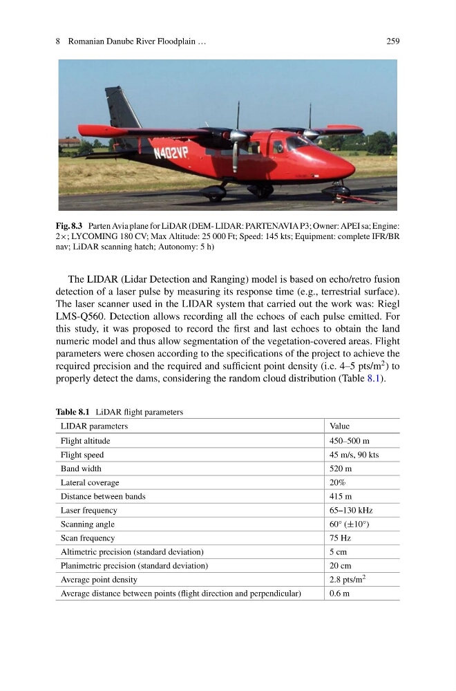
Fig. 8.3 Parten Avia plane for LiDAR (DEM- LIDAR: PARTENAVIA P3; Owner: APEI sa; Engine:
2×; LYCOMING 180 CV; Max Altitude: 25 000 Ft; Speed: 145 kts; Equipment: complete IFR/BR
nav; LiDAR scanning hatch; Autonomy: 5 h)
The LIDAR (Lidar Detection and Ranging) model is based on echo/retro fusion
detection of a laser pulse by measuring its response time (e.g., terrestrial surface).
The laser scanner used in the LIDAR system that carried out the work was: Riegl
LMS-Q560. Detection allows recording all the echoes of each pulse emitted. For
this study, it was proposed to record the first and last echoes to obtain the land
numeric model and thus allow segmentation of the vegetation-covered areas. Flight
parameters were chosen according to the specifications of the project to achieve the
required precision and the required and sufficient point density (i.e. 4–5 pts/m
2 ) to
properly detect the dams, considering the random cloud distribution (Table 8.1).
Table 8.1 LiDAR flight parameters
LIDAR parameters
Value
Flight altitude
450–500 m
Flight speed
45 m/s, 90 kts
Band width
520 m
Lateral coverage
20%
Distance between bands
415 m
Laser frequency
65–130 kHz
Scanning angle
60° (±10°)
Scan frequency
75 Hz
Altimetric precision (standard deviation)
5 cm
Planimetric precision (standard deviation)
20 cm
Average point density
2.8 pts/m 2
Average distance between points (flight direction and perpendicular)
0.6 m
259
Fig. 8.3 Parten Avia plane for LiDAR (DEM- LIDAR: PARTENAVIA P3; Owner: APEI sa; Engine:
2×; LYCOMING 180 CV; Max Altitude: 25 000 Ft; Speed: 145 kts; Equipment: complete IFR/BR
nav; LiDAR scanning hatch; Autonomy: 5 h)
The LIDAR (Lidar Detection and Ranging) model is based on echo/retro fusion
detection of a laser pulse by measuring its response time (e.g., terrestrial surface).
The laser scanner used in the LIDAR system that carried out the work was: Riegl
LMS-Q560. Detection allows recording all the echoes of each pulse emitted. For
this study, it was proposed to record the first and last echoes to obtain the land
numeric model and thus allow segmentation of the vegetation-covered areas. Flight
parameters were chosen according to the specifications of the project to achieve the
required precision and the required and sufficient point density (i.e. 4–5 pts/m
2 ) to
properly detect the dams, considering the random cloud distribution (Table 8.1).
Table 8.1 LiDAR flight parameters
LIDAR parameters
Value
Flight altitude
450–500 m
Flight speed
45 m/s, 90 kts
Band width
520 m
Lateral coverage
20%
Distance between bands
415 m
Laser frequency
65–130 kHz
Scanning angle
60° (±10°)
Scan frequency
75 Hz
Altimetric precision (standard deviation)
5 cm
Planimetric precision (standard deviation)
20 cm
Average point density
2.8 pts/m 2
Average distance between points (flight direction and perpendicular)
0.6 m